Location illustration
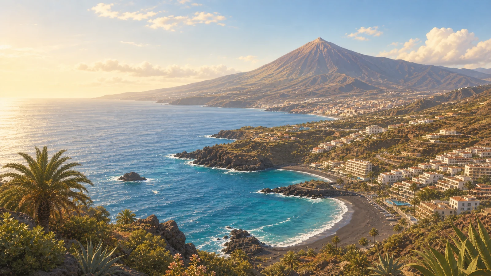
Location illustrationThis is a representative PlayaGo illustration for the area. It gives quick travel context, not a real photo of this exact place or today's conditions.
Best beaches near food today Tenerife
Check today's conditions, facilities, and location. Choose the beach that fits you best
Today's best beaches for food nearby: Tenerife
Also good options today
Tenerife mixes volcanic black-sand coves, protected resort beaches, surf spots, and windier open shores around one compact island.
See more beaches in the areaChoose another beach plan
Switch the plan and compare another kind of beach day around Tenerife.
Municipalities in Tenerife
Choose a smaller area and see the available beach profiles.
Location illustration
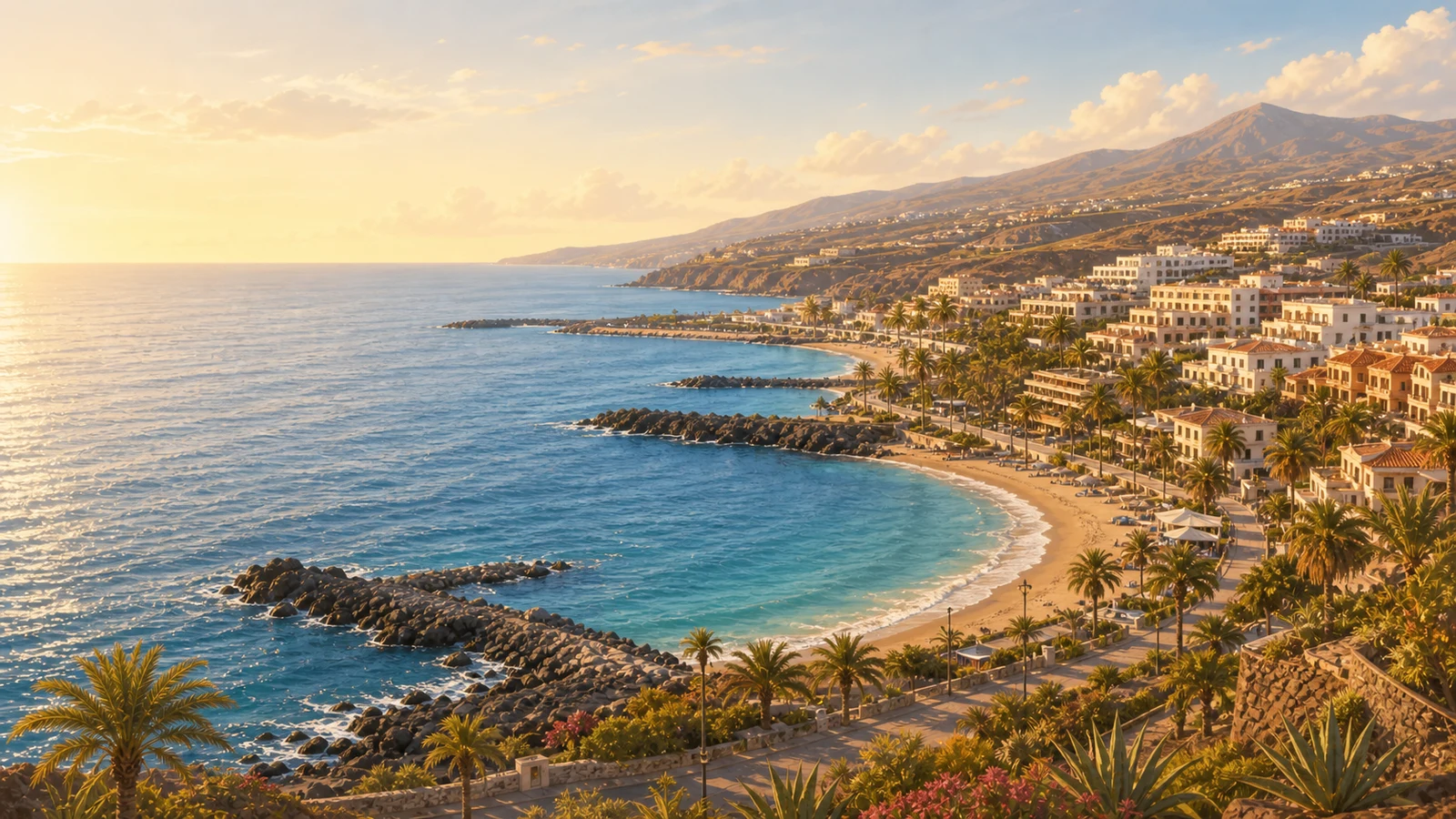
Location illustrationThis is a representative PlayaGo illustration for the area. It gives quick travel context, not a real photo of this exact place or today's conditions.
Adeje lines Tenerife's southwest coast with sheltered bays, long promenades, polished resort beaches, and easy family-friendly services.
View area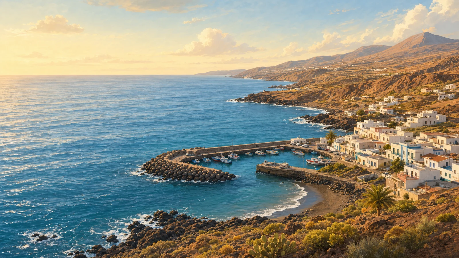
Location illustration
Location illustrationThis is a representative PlayaGo illustration for the area. It gives quick travel context, not a real photo of this exact place or today's conditions.
Arico is a local Tenerife coast area where access, exposure, and nearby services shape the beach day.
View area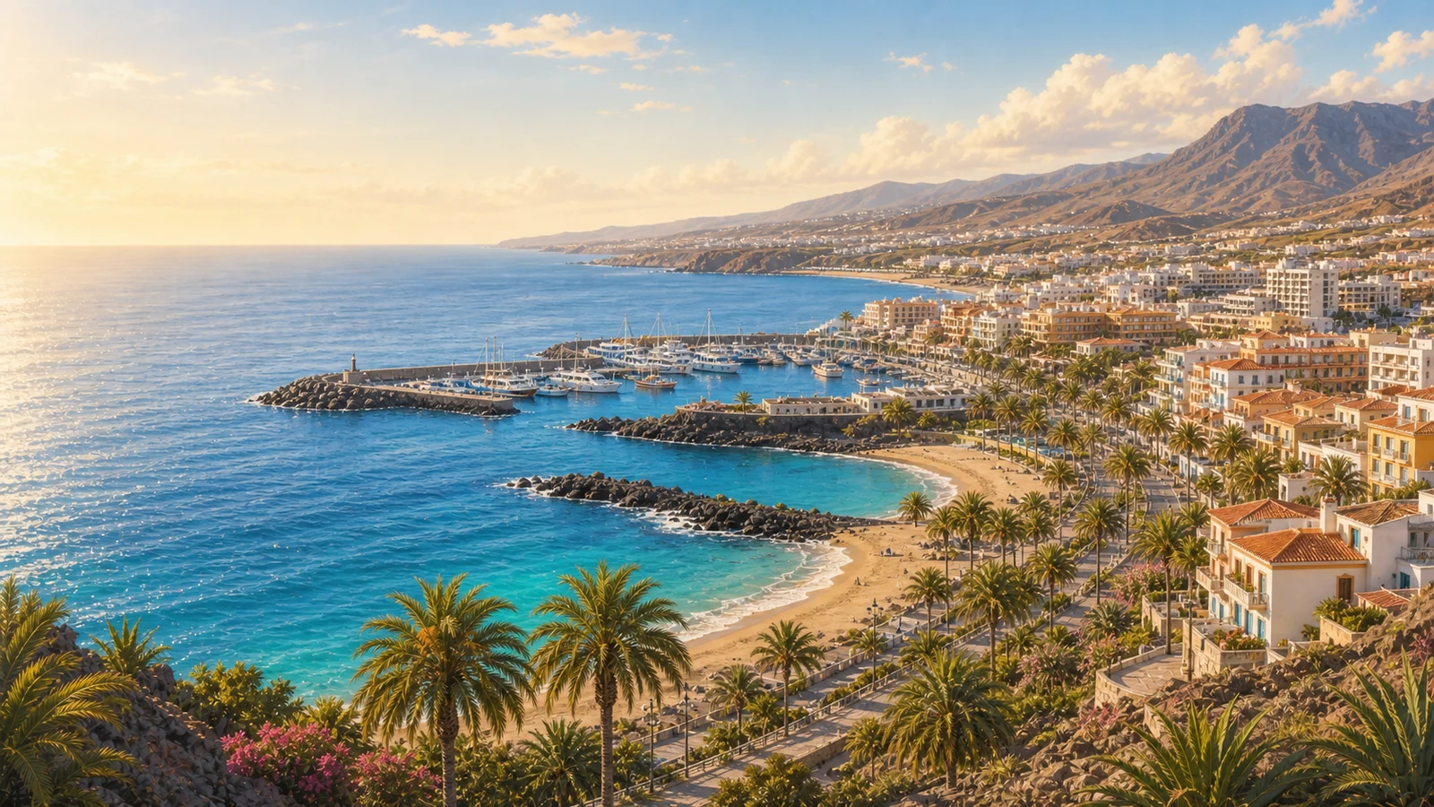
Location illustration
Location illustrationThis is a representative PlayaGo illustration for the area. It gives quick travel context, not a real photo of this exact place or today's conditions.
Arona covers part of southwest Tenerife, including busy resort shores around Los Cristianos and Las Americas with easy promenades and year-round services.
View area
Location illustration
Location illustrationThis is a representative PlayaGo illustration for the area. It gives quick travel context, not a real photo of this exact place or today's conditions.
Buenavista del Norte is a local Tenerife coast area where access, exposure, and nearby services shape the beach day.
View area
Location illustration
Location illustrationThis is a representative PlayaGo illustration for the area. It gives quick travel context, not a real photo of this exact place or today's conditions.
Candelaria is a local Tenerife coast area where access, exposure, and nearby services shape the beach day.
View area
Location illustration
Location illustrationThis is a representative PlayaGo illustration for the area. It gives quick travel context, not a real photo of this exact place or today's conditions.
El Rosario is a local Tenerife coast area where access, exposure, and nearby services shape the beach day.
View area
Location illustration
Location illustrationThis is a representative PlayaGo illustration for the area. It gives quick travel context, not a real photo of this exact place or today's conditions.
Fasnia is a local Tenerife coast area where access, exposure, and nearby services shape the beach day.
View area
Location illustration
Location illustrationThis is a representative PlayaGo illustration for the area. It gives quick travel context, not a real photo of this exact place or today's conditions.
Garachico sits on Tenerife's north coast, known for volcanic rock pools, historic streets, and a rougher Atlantic shoreline.
View area
Location illustration
Location illustrationThis is a representative PlayaGo illustration for the area. It gives quick travel context, not a real photo of this exact place or today's conditions.
Granadilla de Abona sits on Tenerife's south-east coast, where open Atlantic beaches meet Montaña Roja and the windier El Médano shoreline.
View area
Location illustration
Location illustrationThis is a representative PlayaGo illustration for the area. It gives quick travel context, not a real photo of this exact place or today's conditions.
Guia de Isora is a local Tenerife coast area where access, exposure, and nearby services shape the beach day.
View area
Location illustration
Location illustrationThis is a representative PlayaGo illustration for the area. It gives quick travel context, not a real photo of this exact place or today's conditions.
Guimar is a local Tenerife coast area where access, exposure, and nearby services shape the beach day.
View area
Location illustration
Location illustrationThis is a representative PlayaGo illustration for the area. It gives quick travel context, not a real photo of this exact place or today's conditions.
Icod de los Vinos is a local Tenerife coast area where access, exposure, and nearby services shape the beach day.
View area
Location illustration
Location illustrationThis is a representative PlayaGo illustration for the area. It gives quick travel context, not a real photo of this exact place or today's conditions.
La Guancha is a local Tenerife coast area where access, exposure, and nearby services shape the beach day.
View area
Location illustration
Location illustrationThis is a representative PlayaGo illustration for the area. It gives quick travel context, not a real photo of this exact place or today's conditions.
La Orotava is a local Tenerife coast area where access, exposure, and nearby services shape the beach day.
View area
Location illustration
Location illustrationThis is a representative PlayaGo illustration for the area. It gives quick travel context, not a real photo of this exact place or today's conditions.
Los Realejos is a local Tenerife coast area where access, exposure, and nearby services shape the beach day.
View area
Location illustration
Location illustrationThis is a representative PlayaGo illustration for the area. It gives quick travel context, not a real photo of this exact place or today's conditions.
Los Silos is a local Tenerife coast area where access, exposure, and nearby services shape the beach day.
View area
Location illustration
Location illustrationThis is a representative PlayaGo illustration for the area. It gives quick travel context, not a real photo of this exact place or today's conditions.
Puerto de la Cruz is a local Tenerife coast area where access, exposure, and nearby services shape the beach day.
View area
Location illustration
Location illustrationThis is a representative PlayaGo illustration for the area. It gives quick travel context, not a real photo of this exact place or today's conditions.
San Cristóbal de La Laguna is a local Tenerife coast area where access, exposure, and nearby services shape the beach day.
View area
Location illustration
Location illustrationThis is a representative PlayaGo illustration for the area. It gives quick travel context, not a real photo of this exact place or today's conditions.
San Juan de la Rambla is a local Tenerife coast area where access, exposure, and nearby services shape the beach day.
View area
Location illustration
Location illustrationThis is a representative PlayaGo illustration for the area. It gives quick travel context, not a real photo of this exact place or today's conditions.
San Miguel de Abona is a local Tenerife coast area where access, exposure, and nearby services shape the beach day.
View area
Location illustration
Location illustrationThis is a representative PlayaGo illustration for the area. It gives quick travel context, not a real photo of this exact place or today's conditions.
Santa Cruz de Tenerife pairs the island capital with nearby north-east beaches, from city access to the golden sand at Las Teresitas.
View area
Location illustration
Location illustrationThis is a representative PlayaGo illustration for the area. It gives quick travel context, not a real photo of this exact place or today's conditions.
Santiago del Teide reaches Tenerife's dramatic west coast, where cliffs, darker sand, and Atlantic swell shape places like Los Gigantes.
View area
Location illustration
Location illustrationThis is a representative PlayaGo illustration for the area. It gives quick travel context, not a real photo of this exact place or today's conditions.
Tacoronte is a local Tenerife coast area where access, exposure, and nearby services shape the beach day.
View areaBeaches in Tenerife
Open a specific beach profile and check the conditions.
Spain / Tenerife
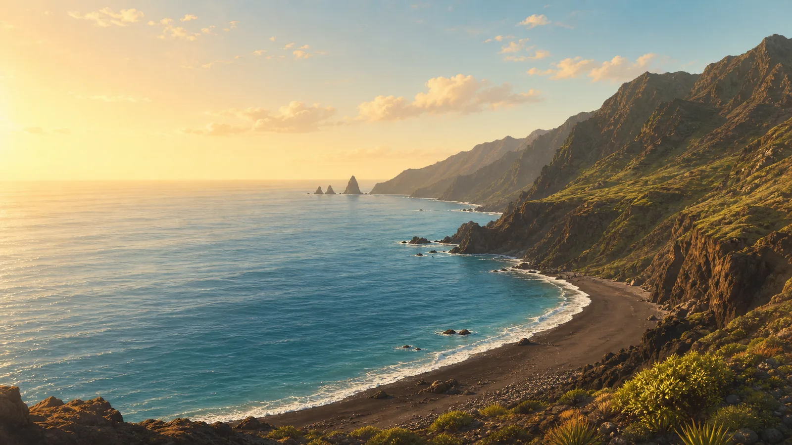 Antequera remote coast San Andrés · Santa Cruz de Tenerife · Tenerife 23-30°C 3-15 km/h 25°C
 A remote Anaga scenery beach reached by difficult footpath or sea, with official dangerous classification and no normal beach services.
Check beach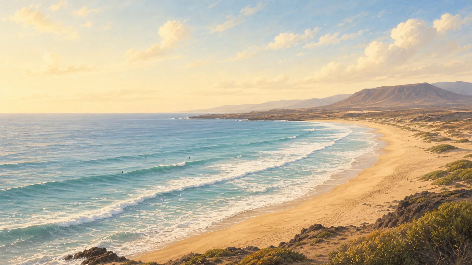 Cha Siveria Beach La Mareta · Granadilla de Abona · Tenerife 25-33°C 5-20 km/h 25°C
 A quiet gravel-and-sand beach below La Mareta, with foot access, parking and bus context, and no listed beach services.
Check beach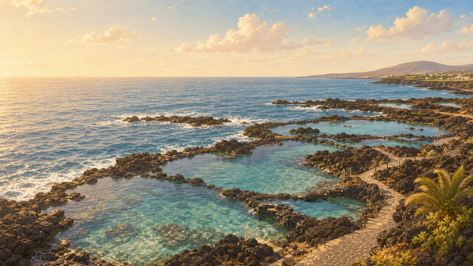 Charco de Isla Cangrejo Natural Pool Puerto de Santiago · Santiago del Teide · Tenerife 27-32°C 8-25 km/h 25°C
 A concrete-walled natural pool on the Puerto Santiago-Los Gigantes coast, best treated as a scenic, calm-sea stop with no lifeguard and serious posted sea warnings.
Check beach Charco de La Araña Los Silos · Los Silos · Tenerife 24-28°C 6-11 km/h 25°C A tide-dependent Los Silos natural charco beside El Puertito, best kept for low-tide scenery and very calm sea checks.
Check beach Charco de La Laja Natural Pool San Juan de la Rambla · San Juan de la Rambla · Tenerife 25-29°C 3-11 km/h 25°C A volcanic natural pool below San Juan de la Rambla, best for a scenic dip when the sea is settled and the stair access feels comfortable.
Check beach Charco del Cumplido La Caleta de Interián · Los Silos · Tenerife 24-28°C 6-11 km/h 25°C Long, shallow volcanic charco by the La Caleta salinas in Los Silos, best treated as a calm-sea natural-pool stop around high tide.
Check beach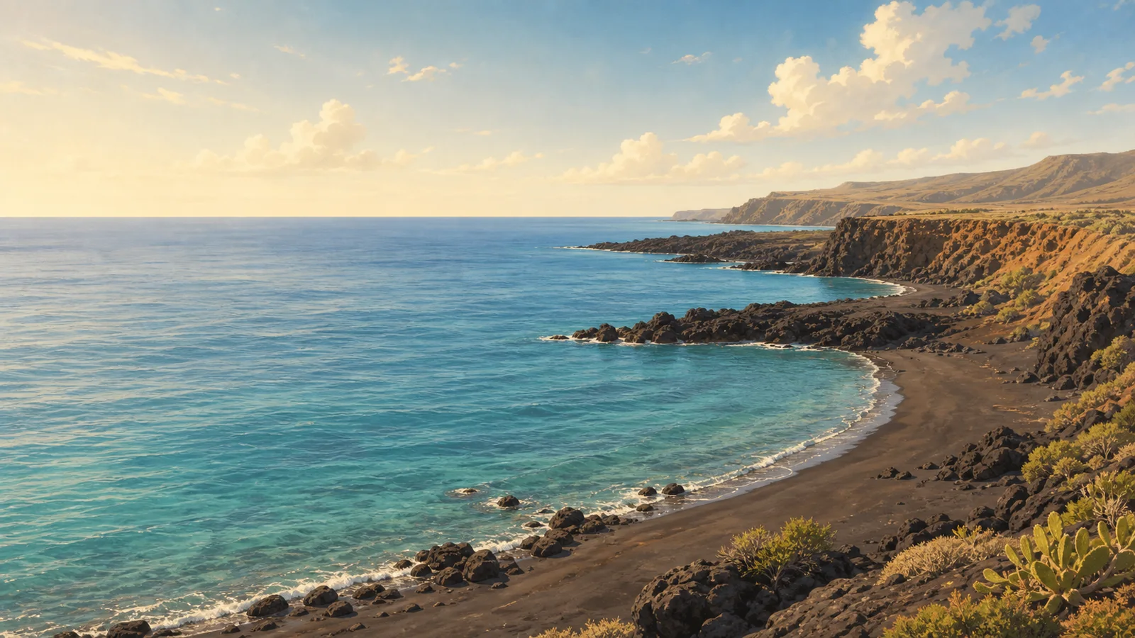 Charco del Tancon Puerto de Santiago · Santiago del Teide · Tenerife 27-31°C 8-25 km/h 25°C
 A dangerous Puerto de Santiago lava cave-pool recorded in official safety and rescue sources, kept as a warning-first profile rather than a swim or best-day recommendation.
Check beach Charco del Viento Natural Pool Santa Catalina · La Guancha · Tenerife 25-29°C 3-11 km/h 25°C A four-pool lava charco below Santa Catalina in La Guancha, best approached by the signed road, parking area, and stair access when the sea is settled.
Check beach Charco Don Gabino Los Silos · Los Silos · Tenerife 24-28°C 6-11 km/h 25°C A small volcanic-rock natural pool west of El Puertito on the Los Silos coast, best treated as a careful scenic stop when the sea is genuinely calm.
Check beach Charco El Ingles La Caleta de Interián · Los Silos · Tenerife 24-28°C 6-11 km/h 25°C A Los Silos lava-rock charco near La Caleta de Interian, reached by stone steps and best treated as a tide-aware, calm-sea natural-pool stop.
Check beach Charco Juaniquín La Caleta de Interián · Los Silos · Tenerife 24-28°C 6-11 km/h 25°C Shallow volcanic charco on the Los Silos side of La Caleta de Interián, with ramp access and swimming best kept to clearly calm sea conditions.
Check beach Charco Los Chochos Los Silos · Los Silos · Tenerife 24-28°C 6-11 km/h 25°C A rocky Los Silos saltwater charco near El Puertito, best for a careful natural-pool stop when the sea is genuinely calm.
Check beach Charco Roque Natural Pool Buenavista del Norte · Buenavista del Norte · Tenerife 24-28°C 8-14 km/h 25°C A lava-rock natural pool on the Buenavista coast, best used as a scenic, tide-aware charco stop rather than a serviced beach day.
Check beach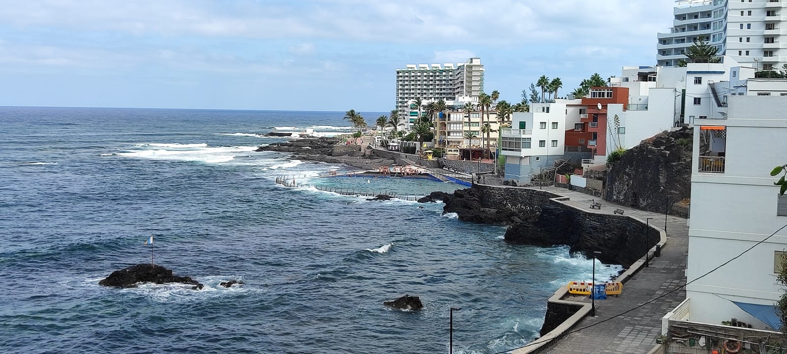 El Arenisco Natural Pool Punta del Hidalgo · San Cristóbal de La Laguna · Tenerife 23-27°C 1-16 km/h 24°C
 Accessible seawater natural pool on the Punta del Hidalgo lava-rock seafront, with Atlantic views, services nearby, and swimming that still depends on sea conditions.
Check beach El Bloque Bathing Zone Valleseco · Santa Cruz de Tenerife · Tenerife 23-28°C 1-9 km/h 25°C A semiurban concrete bathing zone at the old El Bloque embarcadero in Valleseco, with solarium space, a children's play area, and high-season rescue cover listed by the municipality.
Check beach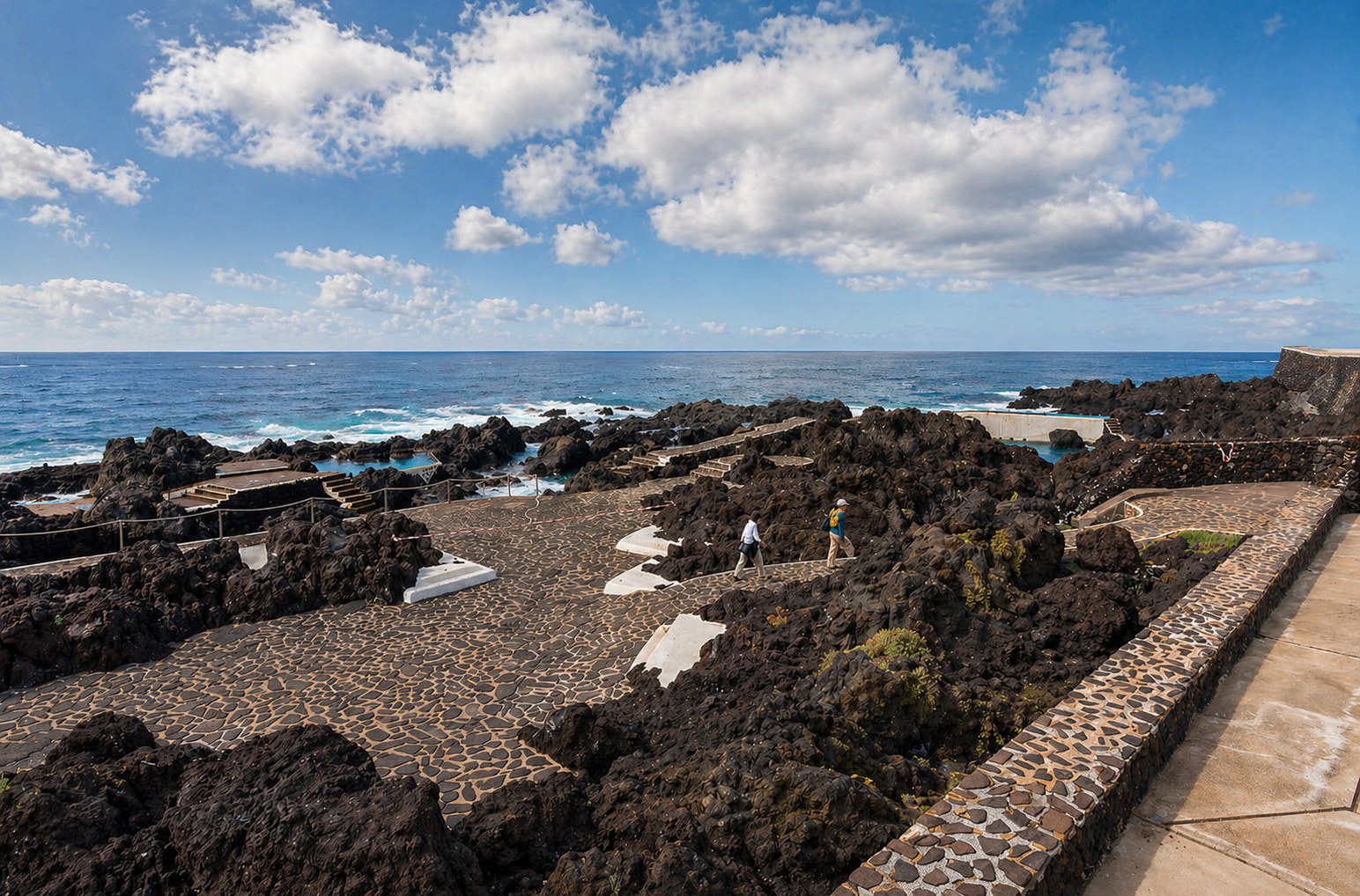 El Caletón Natural Pools Garachico · Garachico · Tenerife 24-28°C 6-11 km/h 25°C El Pris Beach El Pris · Tacoronte · Tenerife 24-31°C 3-10 km/h 25°C
 Small black-sand, gravel, and pebble beach in the El Pris fishing village, with parking, local bus access, nearby restaurants, and strong-wave caution for the open shore.
Check beach El Roquete warning coast Punta del Hidalgo · San Cristóbal de La Laguna · Tenerife 23-27°C 1-16 km/h 25°C A compact Punta del Hidalgo callaos beach for coast views only, with official high-risk/prohibited-use bathing context.
Check beach Jover Natural Pool Tejina · San Cristóbal de La Laguna · Tenerife 24-31°C 2-16 km/h 25°C Quiet Tejina-coast natural pool with rocky bathing edges, adapted access, a freshwater shower, and a conservative Atlantic-coast safety baseline.
Check beach La Jaquita Beach, Granadilla El Médano · Granadilla de Abona · Tenerife 25-33°C 5-20 km/h 25°C A small, comfortable El Medano beach with golden sand, some rocks, easy access, showers, cleaning, parking, bus access, and official bathing-water evidence.
Check beach La Puntilla and La Punta bathing zone La Caleta · Adeje · Tenerife 26-32°C 2-19 km/h 24°C
 Rocky La Caleta bathing edge with a seafront promenade, fish restaurants nearby, and water access that needs care because no stairs or ramps are verified.
Check beach Los Abrigos Natural Pools Los Abrigos · Granadilla de Abona · Tenerife 25-33°C 5-20 km/h 25°C Rocky lava pools on the east edge of Los Abrigos, best treated as a scenery-first stop with careful access and no verified lifeguard baseline.
Check beach Piscinas Naturales de Bajamar Bajamar · San Cristóbal de La Laguna · Tenerife 23-31°C 1-16 km/h 25°C Family-friendly Bajamar natural-pool complex with two large seawater pools, a small children’s pool, a protected sandy pocket, and urban services close by.
Check beach Piscinas naturales de Mesa del Mar Mesa del Mar · Tacoronte · Tenerife 24-30°C 3-10 km/h 25°C Two saltwater pools below Tacoronte cliffs with parking, solarium space, showers, and a careful final road descent.
Check beach Piscinas Naturales Paseo La Jaquita Alcala · Guia de Isora · Tenerife 27-32°C 4-12 km/h 25°C
 Volcanic natural pools on the Alcala promenade beside La Jaquita, with flat access, toilets, showers, bars/restaurants, and La Gomera sunset views in official sources.
Check beach Playa Almáciga Almáciga · Santa Cruz de Tenerife · Tenerife 23-31°C 3-15 km/h 25°C A wild black-sand Anaga beach for surf views, cliffs, and a slower coastal stop, with strong waves, changing currents, line 946 bus access, and only small parking capacity.
Check beach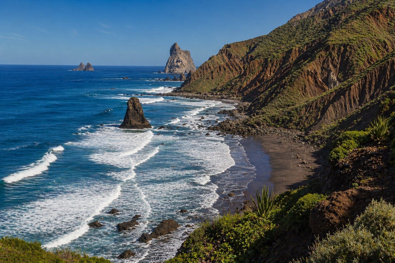 Playa Benijo Taganana · Santa Cruz de Tenerife · Tenerife 23-31°C 3-15 km/h 25°C Playa Chica El Médano · Granadilla de Abona · Tenerife 25-33°C 5-20 km/h 25°C
 A small urban dark-sand cove by the El Medano fishing pier, with calm-water baseline, showers, food nearby, parking, and interurban bus access listed by official tourism sources.
Check beach Playa de Abama Abama · Guia de Isora · Tenerife 27-32°C 4-12 km/h 25°C A small golden-sand resort cove below Abama with parking above the coast, restaurants nearby, and a stepped walk down to the beach.
Check beach Playa de Agua Dulce Los Silos · Los Silos · Tenerife 24-28°C 6-11 km/h 25°C Wild pebble-and-volcanic-sand beach on the Sibora coast of Los Silos, best approached as a wave-aware surf and scenery stop with no ordinary services.
Check beach Playa de Ajabo Callao Salvaje · Adeje · Tenerife 28-32°C 4-12 km/h 24°C Compact Callao Salvaje cove with dark volcanic sand, mixed gravel, easy street access, beach services, restaurants nearby, and no dedicated beach parking.
Check beach Playa de Alcala Alcala · Guia de Isora · Tenerife 27-32°C 4-12 km/h 25°C A small urban Alcalá cove of gravel and black sand by the old fishing harbour, with foot showers, bins, nearby food, parking, and interurban bus context.
Check beach Playa de Candelaria Candelaria · Candelaria · Tenerife 24-33°C 2-11 km/h 25°C Small central Candelaria beach/bathing zone by the Los Guanches seafront, with black-sand and gravel context, town-centre access, bus links, and condition-aware bathing guidance.
Check beach Playa de El Abrigo Los Roques · Fasnia · Tenerife 26-31°C 4-18 km/h 25°C Quiet gravel-and-dark-sand beach below Los Roques de Fasnia, best approached carefully because an official access-zone restriction remains recorded.
Check beach Playa de El Bobo Costa Adeje · Adeje · Tenerife 26-32°C 2-19 km/h 24°C Central Costa Adeje sand beach beside H10 Gran Tinerfe, with promenade services, bus access, and a no-dedicated-parking baseline.
Check beach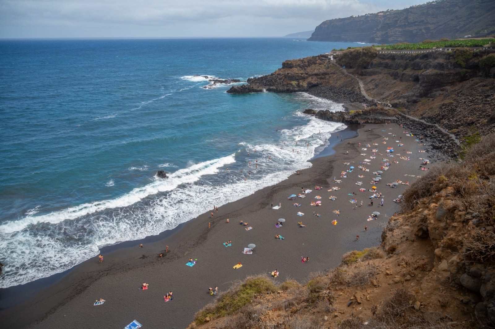 Playa de El Bollullo El Rincon · La Orotava · Tenerife 25-30°C 4-11 km/h 25°C
 Natural black-sand beach below El Rincon cliffs, with strong-wave caution, stepped access, small parking, toilets, bus service, and a bar-restaurant listed by official sources.
Check beach Playa de El Rincón El Pris · Tacoronte · Tenerife 24-31°C 3-10 km/h 25°C Isolated north-coast cove by El Pris with black sand, gravel, and callaos, reached on foot and best planned as a bring-your-own-water stop.
Check beach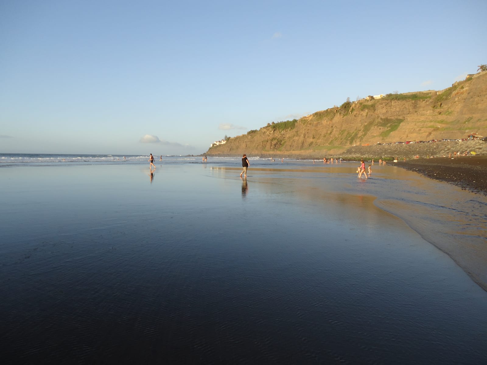 Playa de El Socorro El Socorro · Los Realejos · Tenerife 25-30°C 4-11 km/h 25°C
 North-coast black-sand beach in Los Realejos, known for surf, open Atlantic scenery, services, parking, and strong-wave caution.
Check beach Playa de Fañabé Costa Adeje · Adeje · Tenerife 26-32°C 2-19 km/h 25°C Busy Costa Adeje family beach with golden sand, calm-water baseline, strong services, and a restaurant-lined promenade.
Check beach Playa de La Caleta de Interián La Caleta de Interián · Garachico · Tenerife 24-28°C 6-11 km/h 25°C Pebble-and-dark-sand urban beach in Garachico-side La Caleta de Interian, with promenade access, limited parking, interurban bus access, and local food nearby.
Check beach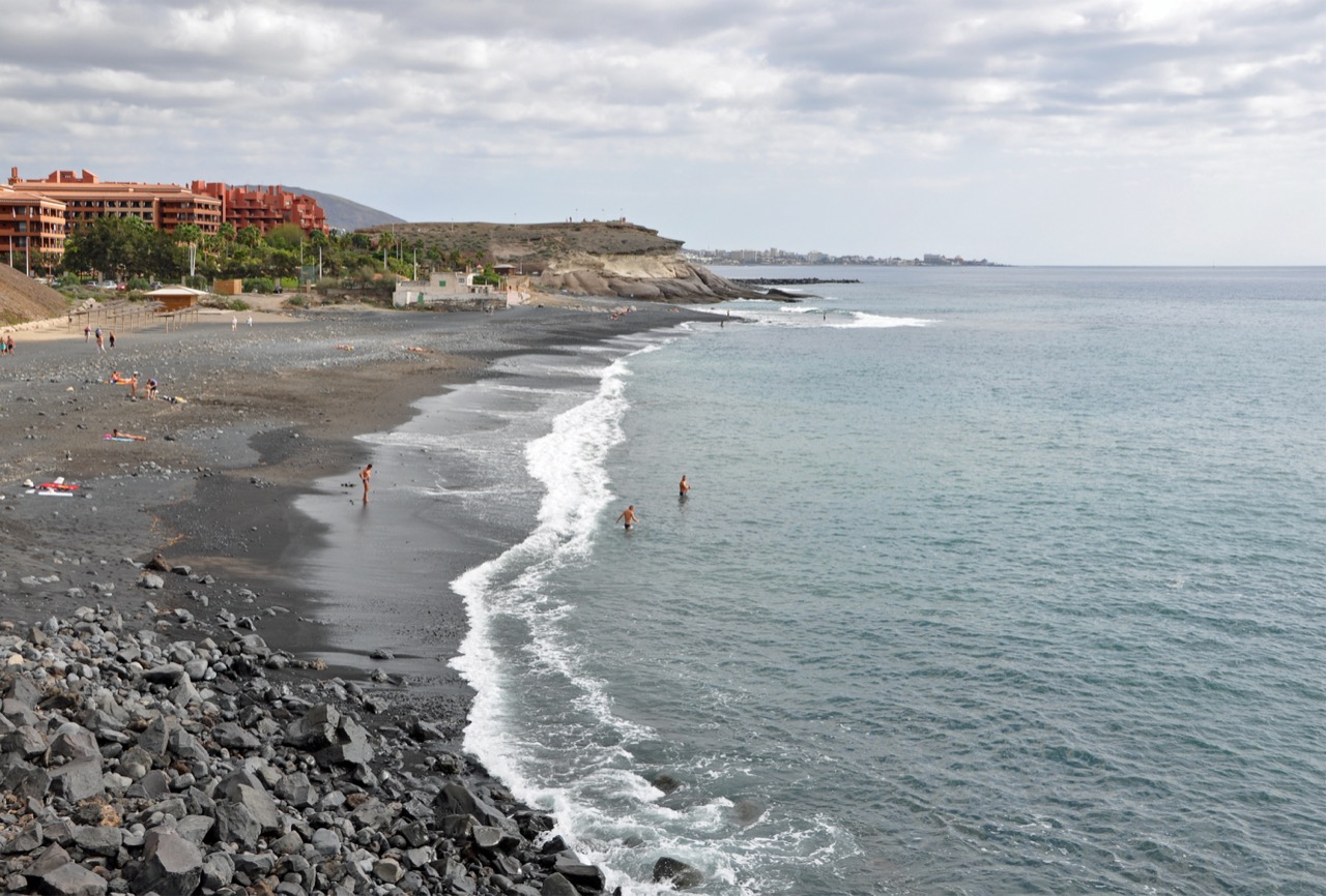 Playa de La Enramada Costa Adeje · Adeje · Tenerife 26-32°C 2-19 km/h 24°C
 Semi-urban Costa Adeje beach with crushed-callao sand, a promenade start, limited parking, interurban bus access, and source-listed caution for strong currents.
Check beach Playa de La Jaquita - Alcala Alcala · Guia de Isora · Tenerife 27-32°C 4-12 km/h 25°C A calm dark-sand Alcala beach by the La Jaquita promenade, with adapted access, showers, toilets, restaurants, and baseline rescue evidence.
Check beach Playa de La Nea Radazul · El Rosario · Tenerife 24-33°C 2-11 km/h 26°C Urban black-sand beach in Radazul with a promenade, parking, bus access, toilets, showers and a seasonal municipal rescue-service baseline.
Check beach Playa de La Pinta Costa Adeje · Adeje · Tenerife 26-32°C 2-19 km/h 24°C Small Puerto Colon beach with golden sand, breakwater-sheltered water, family appeal, water activities, and a busy Costa Adeje promenade.
Check beach Playa de Las Aguas Garachico · Garachico · Tenerife 24-28°C 6-11 km/h 25°C Quiet Garachico beach beside the marina, with dark mixed sand, gravel and rounded stones, foot access, bus access, and no beach services or dedicated parking listed.
Check beach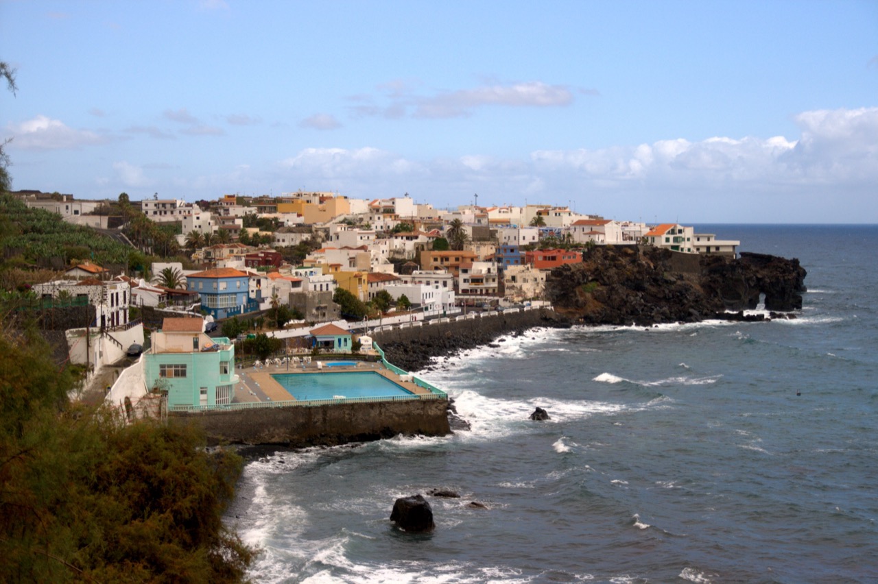 Playa de Las Aguas Las Aguas · San Juan de la Rambla · Tenerife 25-29°C 3-11 km/h 26°C
 Small urban pebble beach in Las Aguas, with nearby restaurants, compact seafront parking, bus access, and stronger surf that calls for cautious bathing.
Check beach Playa de Las Arenas Buenavista del Norte · Buenavista del Norte · Tenerife 24-28°C 8-14 km/h 25°C Rock-and-dark-sand beach on the Buenavista del Norte coast, with source-listed parking, accessible access, and food close by at the coastal access.
Check beach Playa de Las Caletillas Las Caletillas · Candelaria · Tenerife 24-33°C 2-11 km/h 25°C Small pebble cove on the Las Caletillas promenade, with municipal ramp access, seasonal lifeguard evidence, TITSA bus links, and a quieter neighbourhood-beach feel.
Check beach Playa de Las Eras Las Eras · Fasnia · Tenerife 26-31°C 4-18 km/h 25°C Small black-sand-and-shingle beach in Las Eras, with a breakwater, easy access, limited parking, a short seafront walk, and village food close by.
Check beach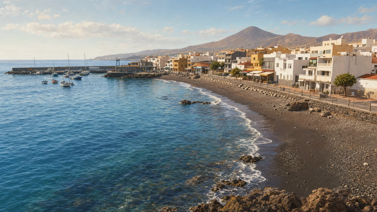 Playa de Las Galletas Las Galletas · Arona · Tenerife 25-33°C 4-26 km/h 25°C
 Urban dark-sand-and-pebble beach in Las Galletas, beside the fishing harbour, with easy access, bus service, parking, and seafood restaurants nearby.
Check beach Playa de Los Abriguitos Abades · Arico · Tenerife 26-31°C 4-18 km/h 25°C Family-friendly fine volcanic-sand beach beside Abades, with easy car or foot access, showers, 50 to 100 parking spaces, interurban bus access, and food close by.
Check beach Playa de Los Cristianos Los Cristianos · Arona · Tenerife 26-32°C 1-28 km/h 24°C Urban golden-sand beach beside Los Cristianos harbour, with calm-water character, easy promenade access, and practical services close by.
Check beach Playa de Los Roques Toscal-Longuera · Los Realejos · Tenerife 25-30°C 4-11 km/h 25°C Rocky black-sand-and-callaos cove below the Toscal-Longuera coast, best framed as a viewpoint-first stop with careful signed-path access.
Check beach Playa de Punta Blanca Alcala · Guia de Isora · Tenerife 27-32°C 4-12 km/h 25°C Isolated pebbly Punta Blanca surf coast north of Alcala, best framed as a scenic or sport stop with no source-listed services or parking.
Check beach Playa de Punta Larga Punta Larga · Candelaria · Tenerife 24-33°C 2-11 km/h 25°C Urban Candelaria seafront beach with gravel, pebbles and dark sand, ramp access, promenade platforms, toilets, showers, parking, bus access, food nearby, and scheduled lifeguard coverage.
Check beach Playa de San Blas San Blas · San Miguel de Abona · Tenerife 25-33°C 5-20 km/h 25°C Semi-urban gravel, sand and rock beach on the San Blas side of Golf del Sur, useful for a quieter coastal stop with parking and bus access nearby.
Check beach Playa de San Marcos San Marcos · Icod de los Vinos · Tenerife 24-28°C 6-11 km/h 25°C Sheltered black-sand urban bay in Icod de los Vinos, with accessible access, showers, toilets, food terraces, small parking, and a calmer family-oriented setting for the north coast.
Check beach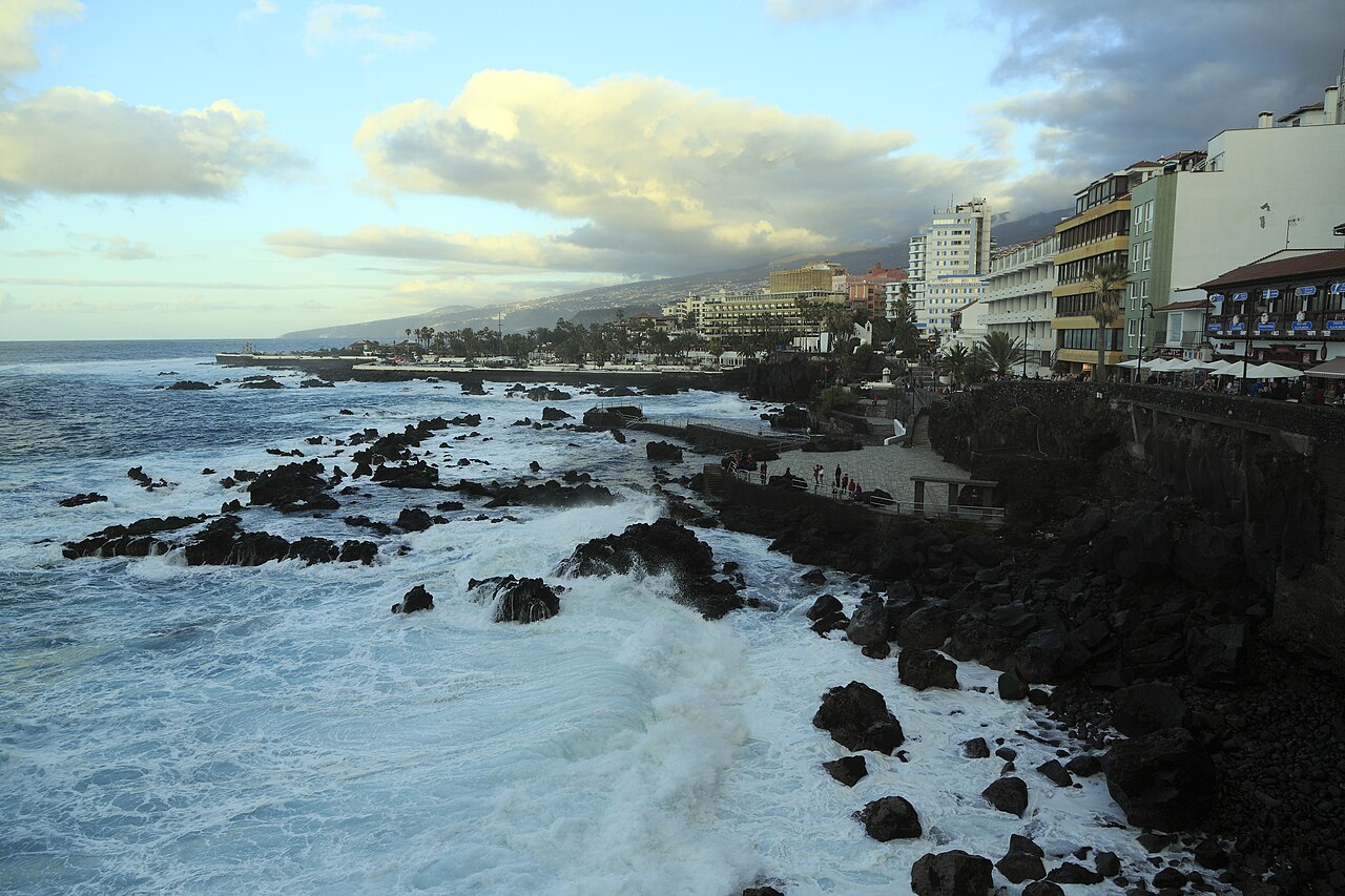 Playa de San Telmo Puerto de la Cruz · Puerto de la Cruz · Tenerife 25-30°C 4-11 km/h 25°C
 Small traditional Puerto de la Cruz bathing area with black sand, pebbles, volcanic rocks, and natural pools beside Paseo de San Telmo.
Check beach Playa de Torviscas Costa Adeje · Adeje · Tenerife 26-32°C 2-19 km/h 24°C Compact Costa Adeje resort beach with dark sand, promenade services, accessible access, and a sheltered bay beside Fañabé and La Pinta.
Check beach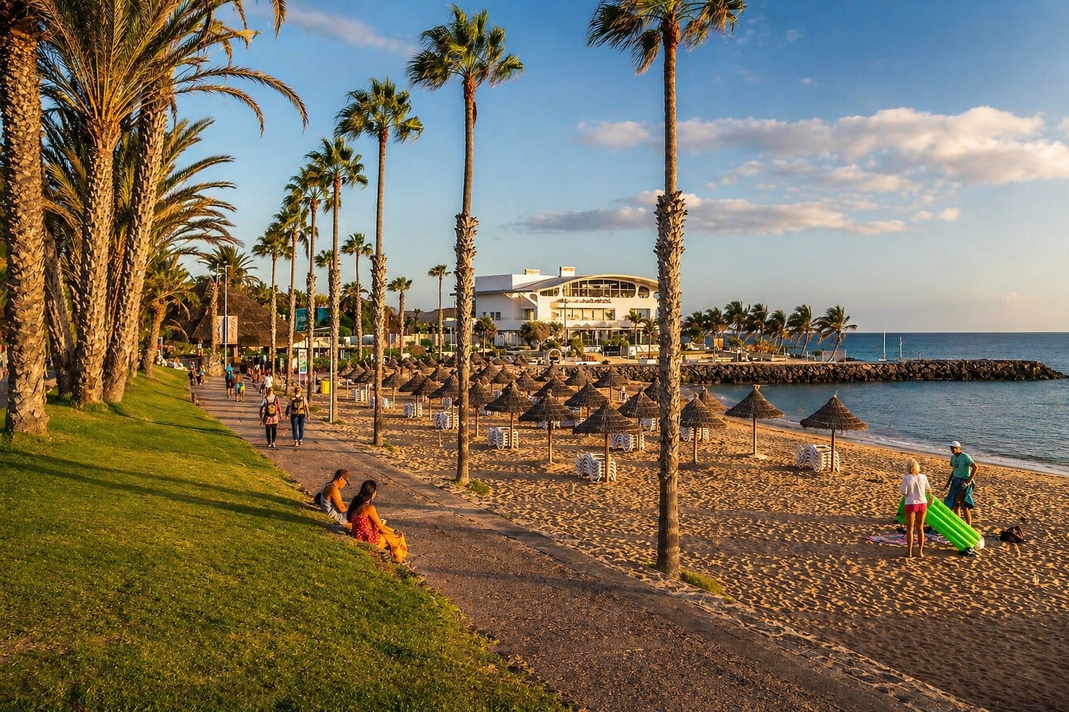 Playa del Camisón Las Américas · Arona · Tenerife 26-32°C 1-28 km/h 24°C Playa del Confital El Médano · Granadilla de Abona · Tenerife 25-33°C 5-20 km/h 25°C
 A small grey-sand beach near Montana Roja where official tourism highlights dog-friendly access, surf interest, foot access, and no services or parking.
Check beach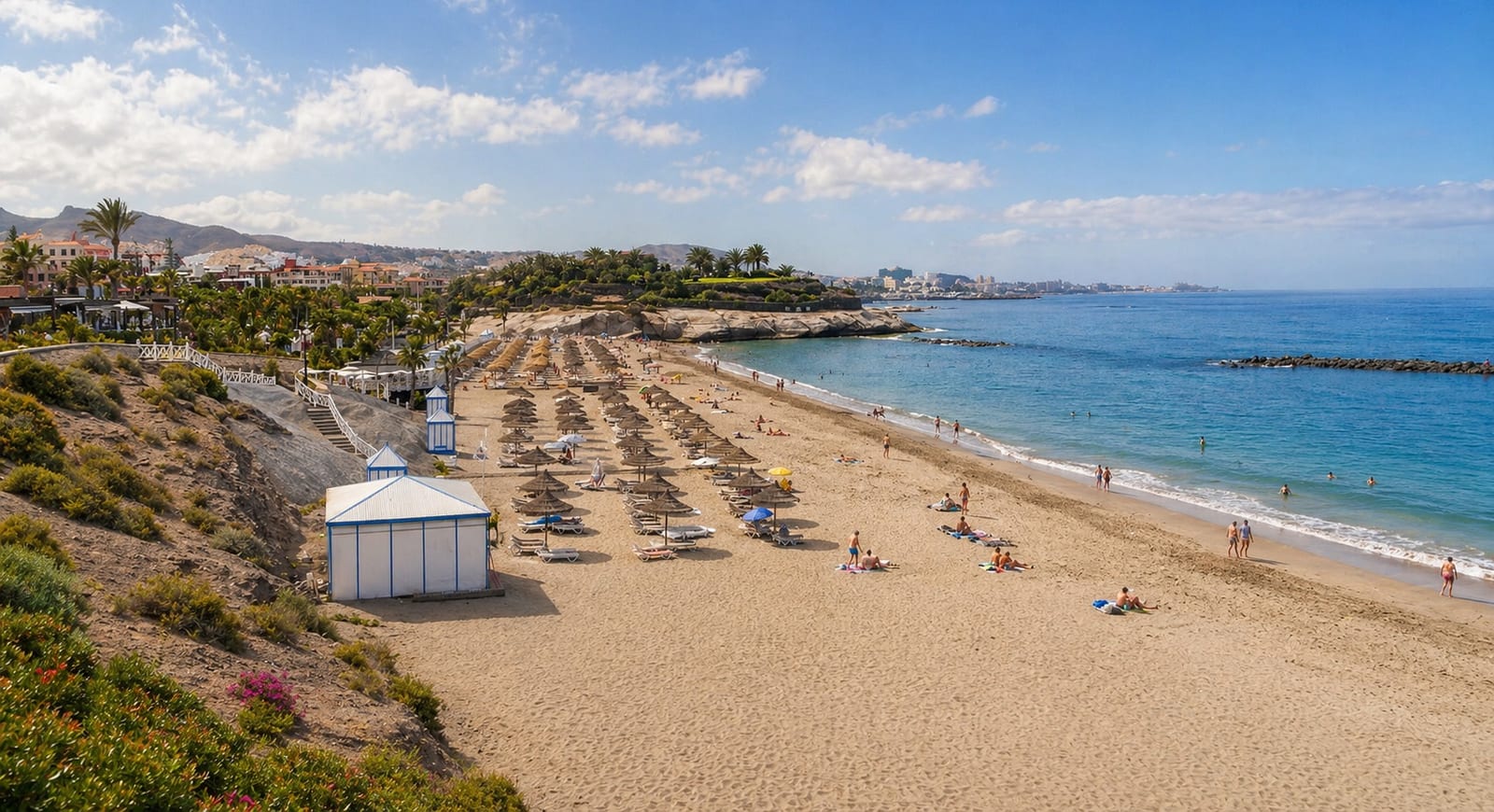 Playa del Duque Costa Adeje · Adeje · Tenerife 26-32°C 2-19 km/h 25°C
 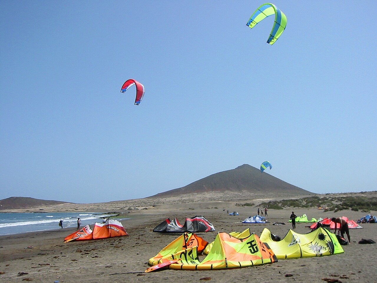 Playa del Médano El Médano · Granadilla de Abona · Tenerife 25-33°C 5-20 km/h 25°C
 The open Leocadio Machado side of El Médano, beside Playa Sur and Montaña Roja, is the wind-sport stretch for kitesurf and windsurf days.
Check beach Playa del Muelle, Garachico Garachico · Garachico · Tenerife 24-28°C 6-11 km/h 25°C Small sheltered gravel-and-dark-sand beach by Garachico old harbour, with easy access, parking, bus access, showers, adapted facilities, and the historic town a short walk away.
Check beach Playa del Poris Poris de Abona · Arico · Tenerife 26-31°C 4-18 km/h 25°C Compact gravel-and-sand beach in Poris de Abona, with a small fishing-village waterfront, easy access, limited parking, and food close to the seafront.
Check beach Playa del Puertito de Armeñime Costa Adeje · Adeje · Tenerife 26-32°C 2-19 km/h 24°C Small sandy cove by El Puertito in Adeje, known for snorkel and dive interest, modest services, and local bathing signs that matter before entering the water.
Check beach Playa del Puertito de Güímar Puertito de Guimar · Guimar · Tenerife 26-30°C 6-11 km/h 25°C Urban black-sand-and-pebble beach in Puertito de Güímar, with easy waterfront access, adapted access, showers, toilets, bus links, and seafood places nearby.
Check beach Playa del Roque de las Bodegas Taganana · Santa Cruz de Tenerife · Tenerife 23-31°C 3-15 km/h 25°C [object Object]
Check beach Playa del Socorro, Guimar El Socorro · Guimar · Tenerife 25-32°C 2-11 km/h 25°C Long gravel-and-callaos beach on the El Socorro coast of Güímar, with a calmer village-side zone, a more exposed surf section, bins, food/drink service, bus context, and no dedicated parking.
Check beach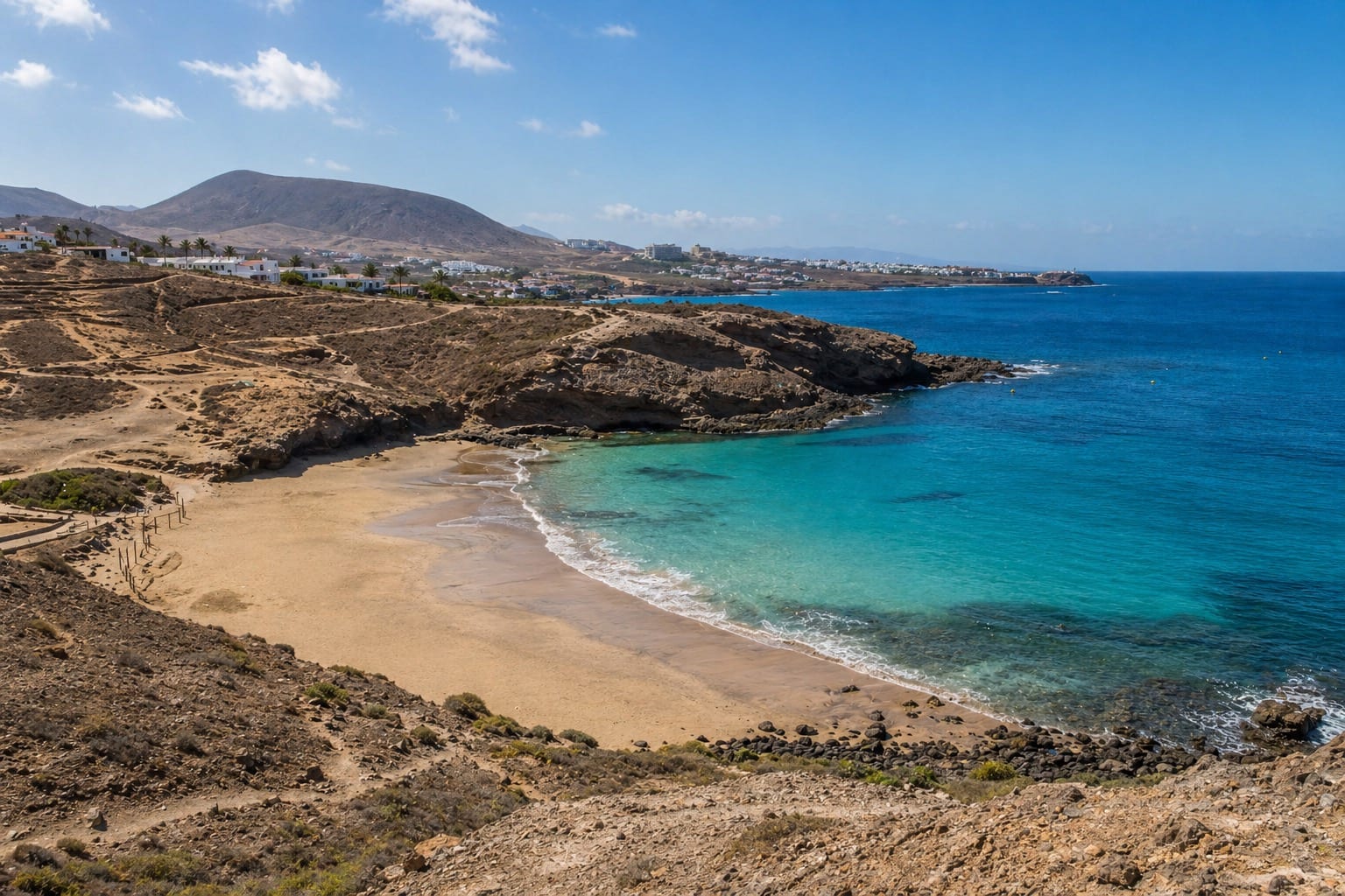 Playa Diego Hernández La Caleta · Adeje · Tenerife 26-32°C 2-19 km/h 24°C Playa El Cabezo - Paseo de Las Palmeras Puertito de Guimar · Guimar · Tenerife 26-30°C 6-11 km/h 25°C
 Separate Puertito de Güímar bathing-water zone along Paseo de Las Palmeras, with black volcanic beach character, nearby waterfront access, and official health monitoring distinct from La Charcada-Muelle.
Check beach Playa El Cabezo El Médano · Granadilla de Abona · Tenerife 25-33°C 5-20 km/h 25°C A wind- and kite-sport beach on the El Medano promenade, with sand and callaos, parking, urban bus context, surf services, and broad Montaña Roja views.
Check beach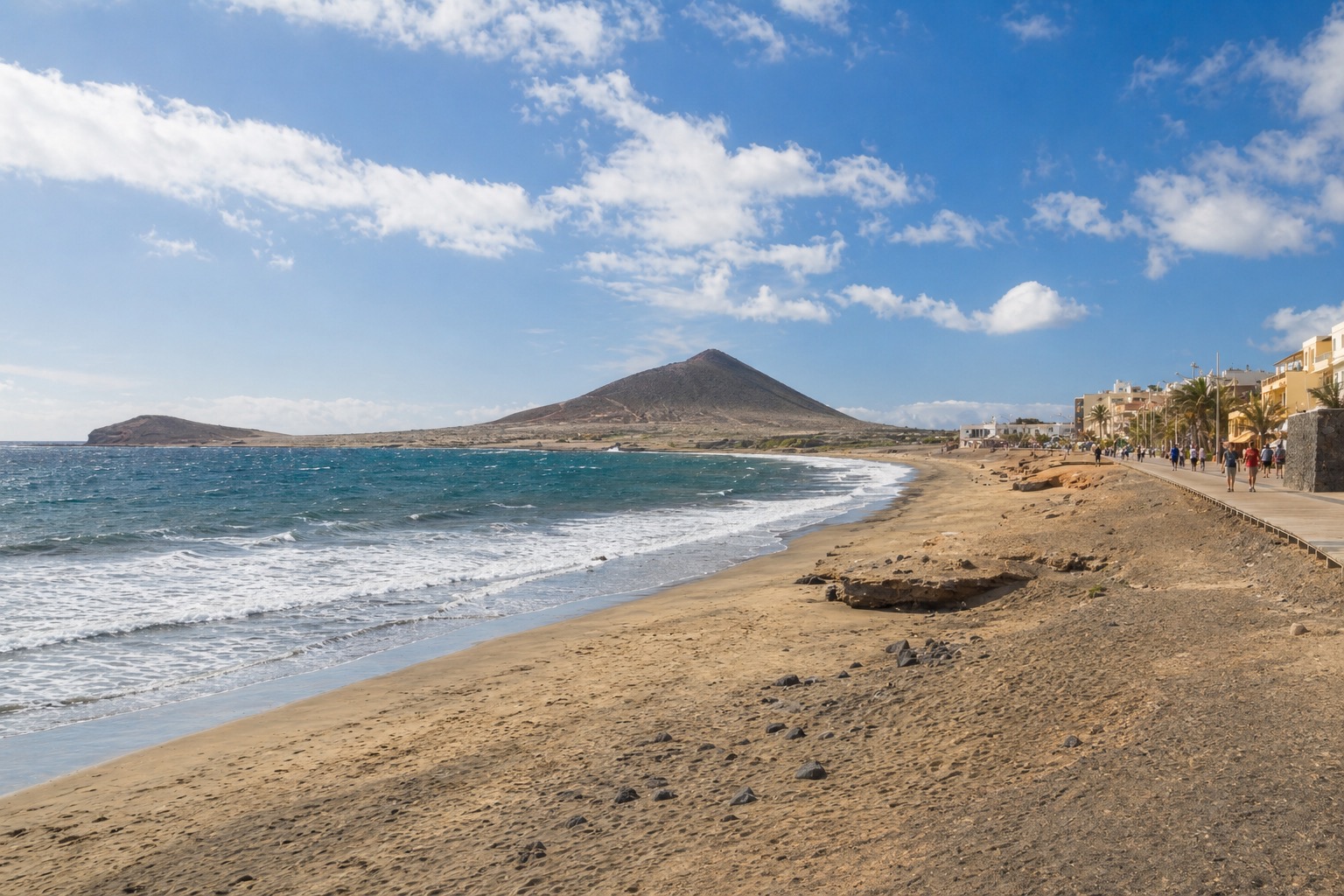 Playa El Médano El Médano · Granadilla de Abona · Tenerife 25-33°C 5-20 km/h 25°C
 The town-side Playa El Médano is the promenade beach by the plaza, with family-friendly services, lifeguard evidence, and seasonal assisted bathing.
Check beach Playa Grande Poris de Abona · Arico · Tenerife 26-31°C 4-18 km/h 25°C Wide pale-sand beach by Punta de Abona and El Poris, with easy access, a small roadside parking area, interurban bus service, bins, and wind-and-wave caution because it is not usually supervised.
Check beach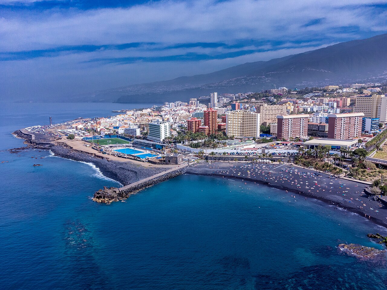 Playa Jardin Complex Puerto de la Cruz · Puerto de la Cruz · Tenerife 25-30°C 4-11 km/h 25°C
 Black-sand Puerto de la Cruz beach complex with gardens, promenade access, family services, and three connected bathing sectors.
Check beach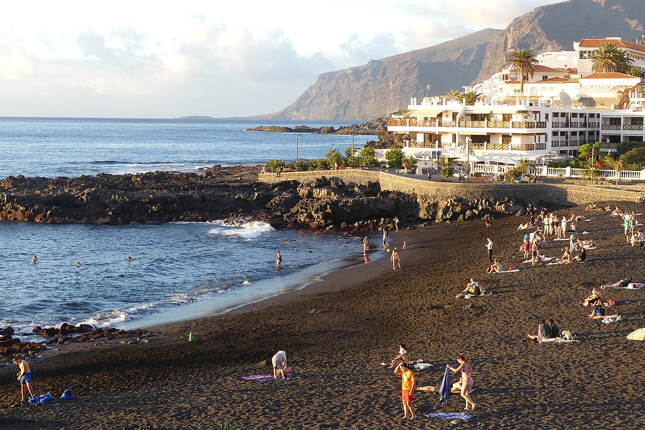 Playa La Arena Puerto de Santiago · Santiago del Teide · Tenerife 27-31°C 8-25 km/h 25°C Playa La Arena, Candelaria Candelaria · Candelaria · Tenerife 24-33°C 2-11 km/h 25°C
 Quiet Candelaria coast beach with black sand and gravel, easy access, interurban bus links, and strong-wave caution for bathing decisions.
Check beach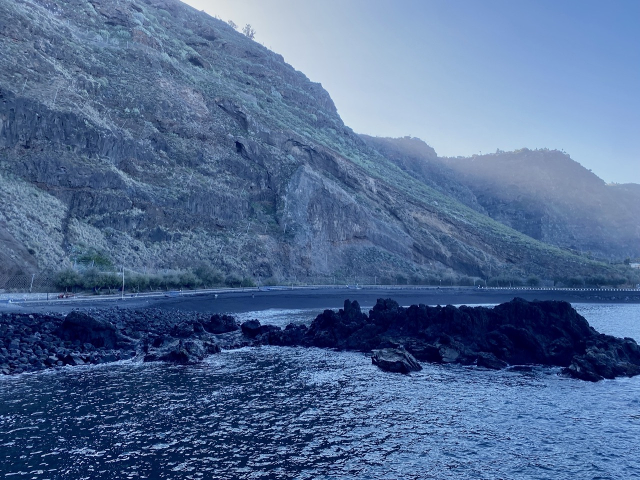 Playa La Arena, Tacoronte Mesa del Mar · Tacoronte · Tenerife 24-30°C 3-10 km/h 25°C
 North-coast black-sand beach below Mesa del Mar, reached by tunnel and backed by parking, toilets, and calm-family beach context from official sources.
Check beach Playa La Pelada El Médano · Granadilla de Abona · Tenerife 27-34°C 2-16 km/h 25°C A small black-sand beach beside Montaña Pelada, best treated as a quiet nature stop with a short exposed walk and no beach services.
Check beach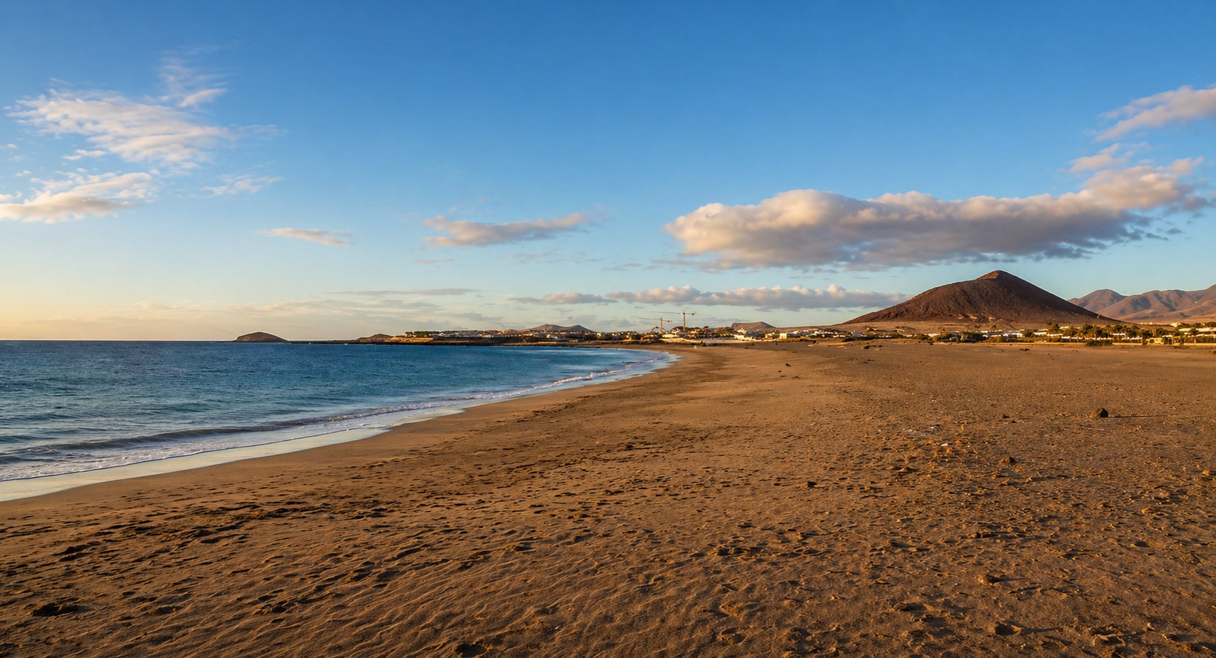 Playa La Tejita La Tejita · Granadilla de Abona · Tenerife 25-33°C 5-20 km/h 25°C
 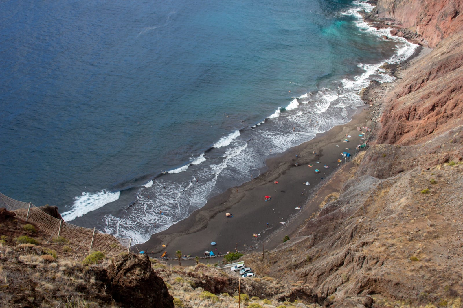 Playa Las Gaviotas San Andrés · Santa Cruz de Tenerife · Tenerife 23-30°C 3-15 km/h 25°C
 Natural black-sand Anaga beach below cliffs near San Andrés, with limited services, a small car park, and interurban bus context.
Check beach Playa Las Mujeres Buenavista del Norte · Buenavista del Norte · Tenerife 24-28°C 8-14 km/h 25°C An isolated black-sand-and-callaos cove on the Buenavista coast, best for wild scenery and careful wave-aware visits.
Check beach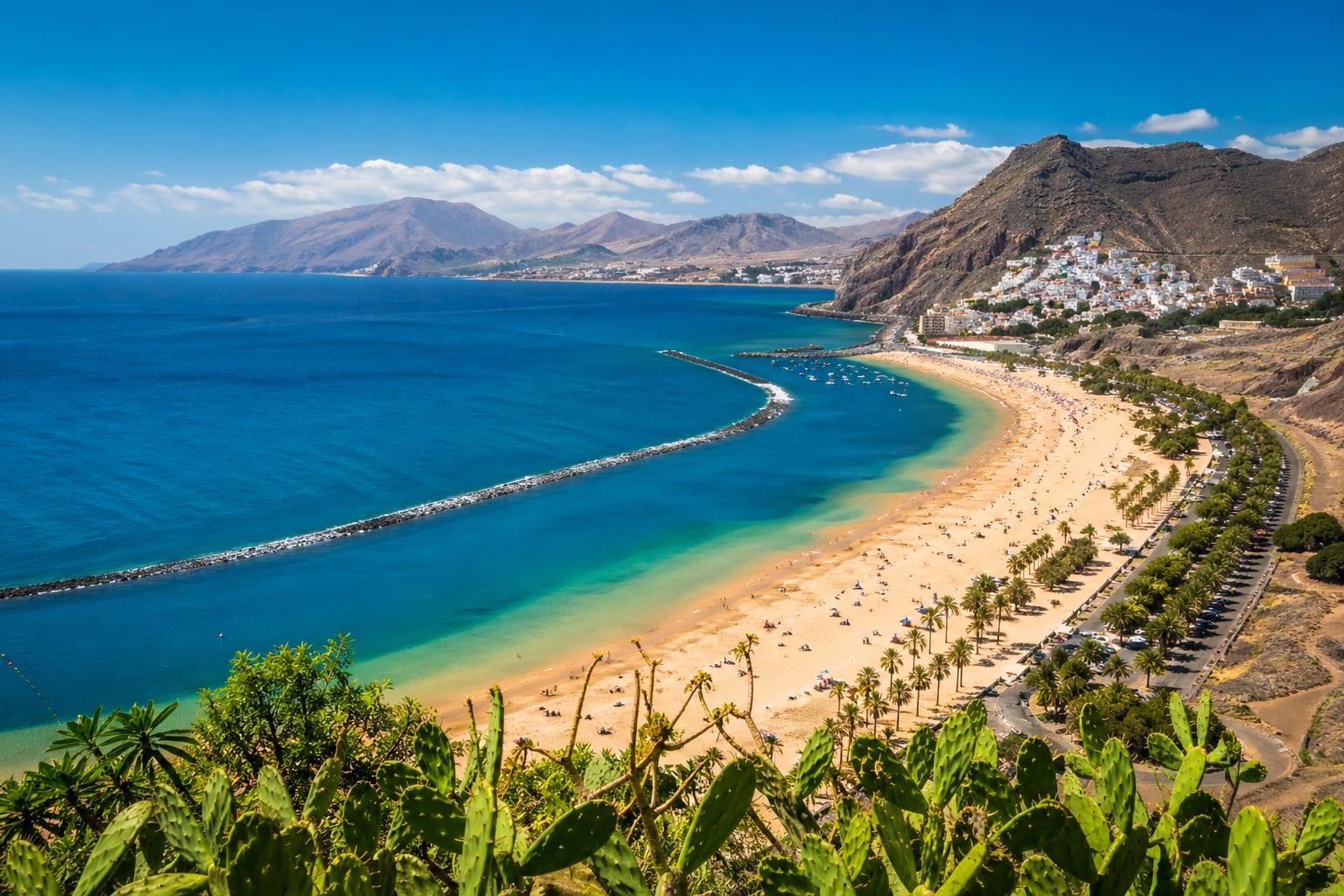 Playa Las Teresitas San Andrés · Santa Cruz de Tenerife · Tenerife 23-31°C 3-15 km/h 26°C
 Long, family-friendly San Andrés beach with golden sand, calm breakwater-protected water, palms, and practical services along the shore.
Check beach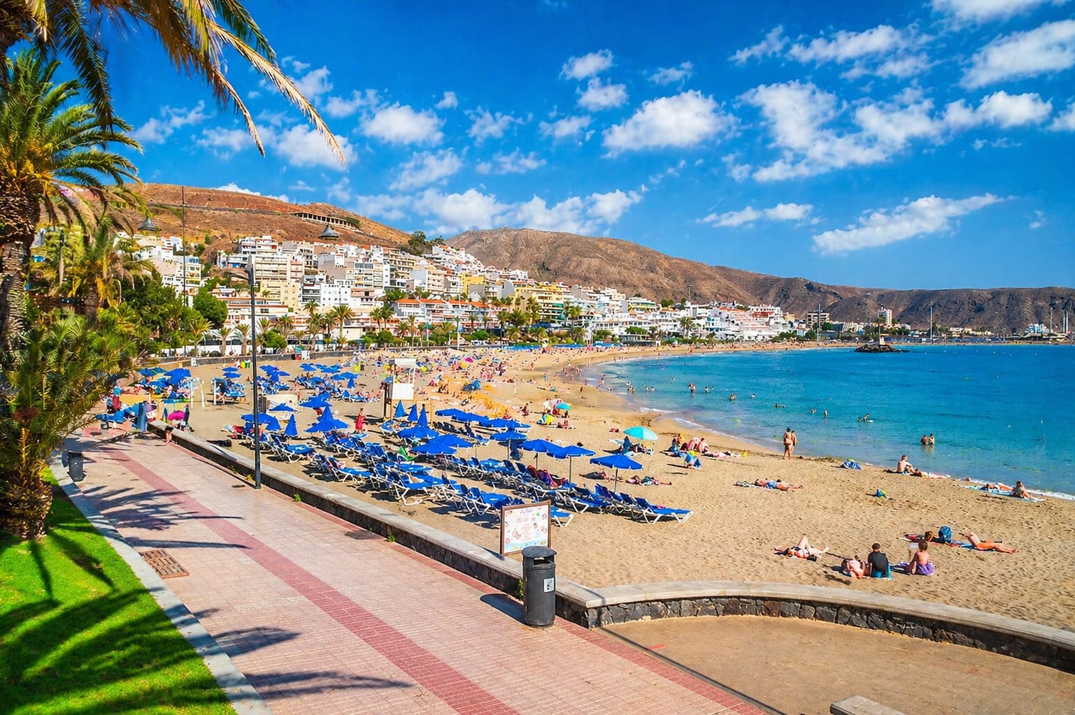 Playa Las Vistas Los Cristianos · Arona · Tenerife 26-32°C 1-28 km/h 24°C
 Wide, accessible Los Cristianos beach with breakwater-calmed water, a promenade setting, and practical services close by.
Check beach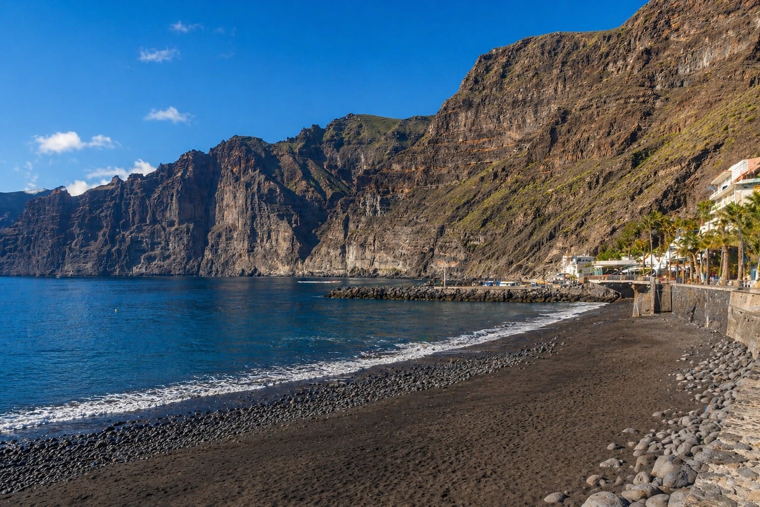 Playa Los Guíos Los Gigantes · Santiago del Teide · Tenerife 27-32°C 8-25 km/h 25°C Playa Martiánez Puerto de la Cruz · Puerto de la Cruz · Tenerife 25-30°C 4-11 km/h 25°C
 Semi-urban black-sand and callaos beach below the Martiánez cliff, with promenade access, nearby food, and a surf-oriented north-coast feel.
Check beach Playa Méndez Alcala · Guia de Isora · Tenerife 27-32°C 4-12 km/h 25°C A small gravel-and-pebble cove beside Alcalá, reached on foot from the town edge, with no beach services or dedicated parking listed.
Check beach Playa Montana Amarilla Montana Amarilla · San Miguel de Abona · Tenerife 25-33°C 4-26 km/h 25°C Small gravel-and-rock cove below Montaña Amarilla for scenic volcanic-coast stops and condition-led swims, with little on-beach service.
Check beach Playa Montaña Roja El Médano · Granadilla de Abona · Tenerife 25-33°C 5-20 km/h 25°C A small light-sand cove beside Montaña Roja, best approached as a quiet nature-reserve stop with basic services nearby.
Check beach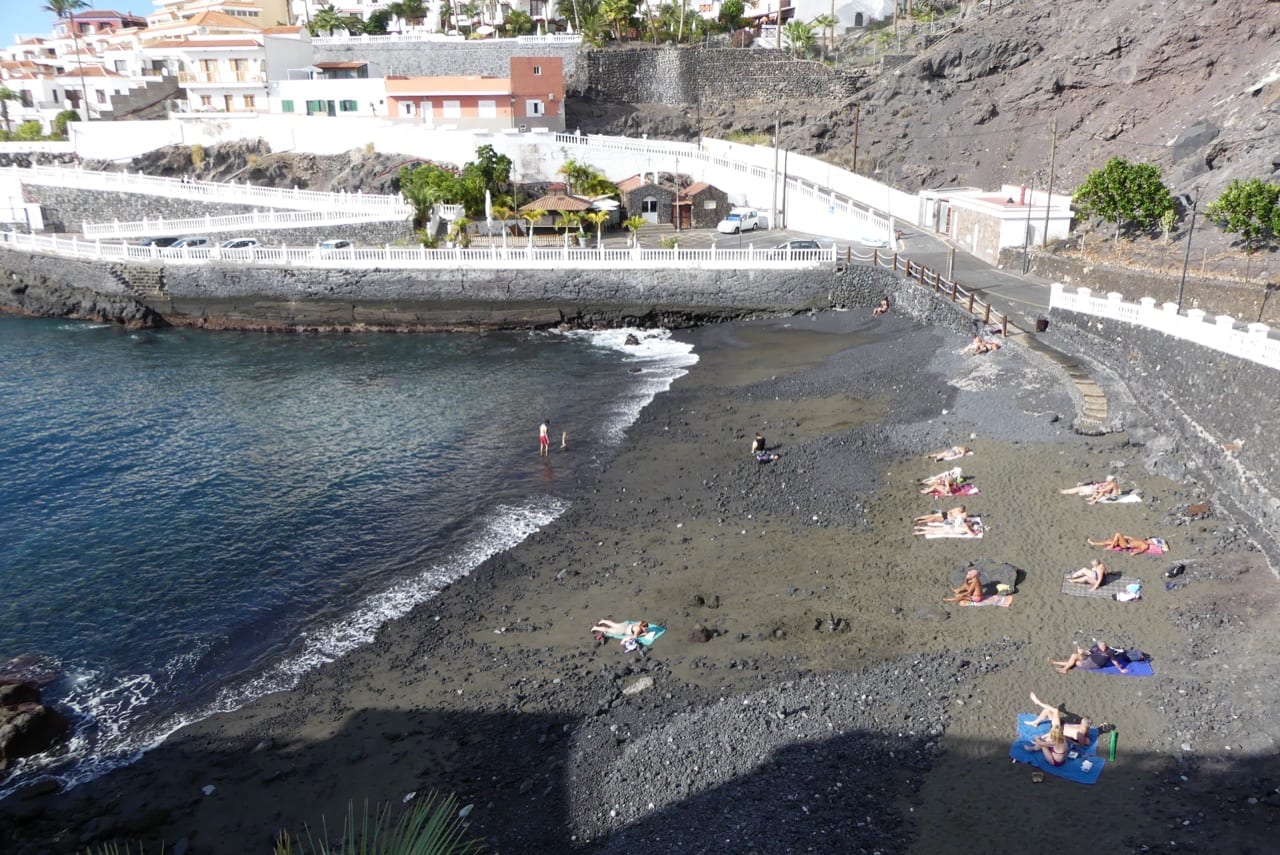 Playa Puerto Santiago Puerto de Santiago · Santiago del Teide · Tenerife 27-31°C 8-25 km/h 25°C
 Small urban black-sand beach beside the Puerto Santiago harbour, with showers, foot showers, listed parking, bus links, accessible access, and food nearby.
Check beach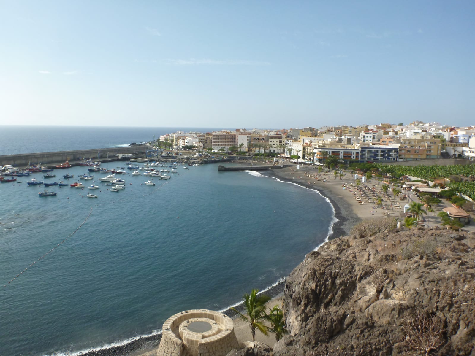 Playa San Juan Playa San Juan · Guia de Isora · Tenerife 27-32°C 4-12 km/h 25°C
 A sheltered dark-sand town beach in Playa San Juan with flat promenade access, services, restaurants, and baseline lifeguard evidence.
Check beach Playas de Troya Costa Adeje · Adeje · Tenerife 26-32°C 2-19 km/h 24°C Classic Costa Adeje resort beach pair with volcanic sand, easy promenade access, strong services, and a lively food-and-sunset edge.
Check beach Radazul Beach Radazul · El Rosario · Tenerife 24-33°C 2-11 km/h 25°C Sheltered Radazul bathing area with two small black-sand coves, breakwater access, clear-water snorkel appeal, parking, bus access, and marina-side services.
Check beach Tajao Beach San Miguel de Tajao · Arico · Tenerife 27-34°C 2-16 km/h 25°C Compact pebble-and-black-sand beach beside the Tajao fishing port, with easy access, small-street parking, interurban bus access, food nearby, and no listed lifeguard service.
Check beach