Get an answer first
Start with a beach recommendation instead of a blank search.
PlayaGo ranks Tenerife beaches by today's coastal conditions and your beach-day plan, then explains the best match in plain language.
Beach-day path
Start with a beach recommendation instead of a blank search.
Plan, area, vibe, must-haves, and conditions become clear reasons.
Weather, UV, wind, waves, sea, facilities, and access stay together.
The map keeps the same preferences while you look around.
Food, routes, events, and local notes help the next move.
Start with the answer
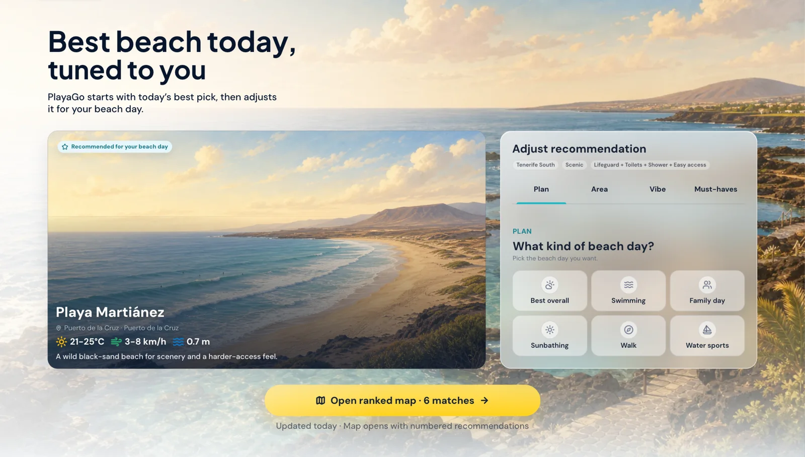
PlayaGo gives you a recommended beach first, then shows the reasons and the fastest way to compare nearby options.
A real beach appears first, so the decision starts with a place you can visit.
Your plan, preferred area, beach style, must-haves, and today's signals sit beside the result.
Open the beach map with the same choices when you want alternatives close by.
Tune the beach day
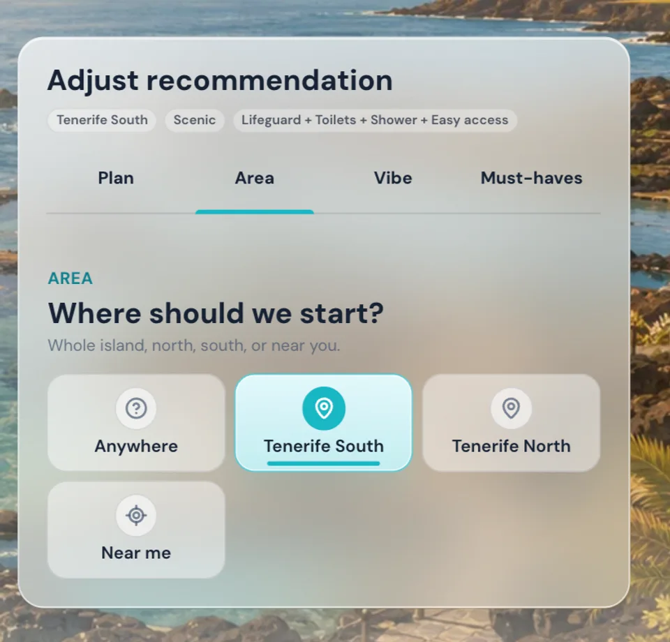
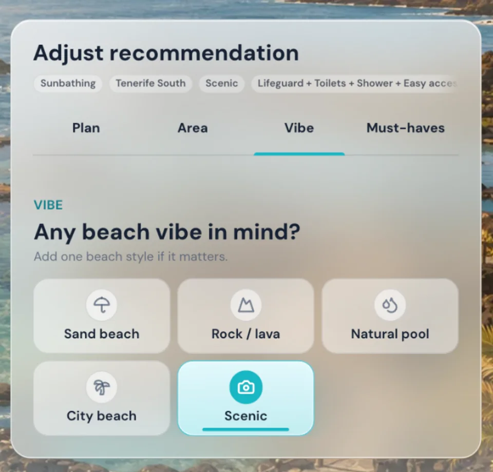
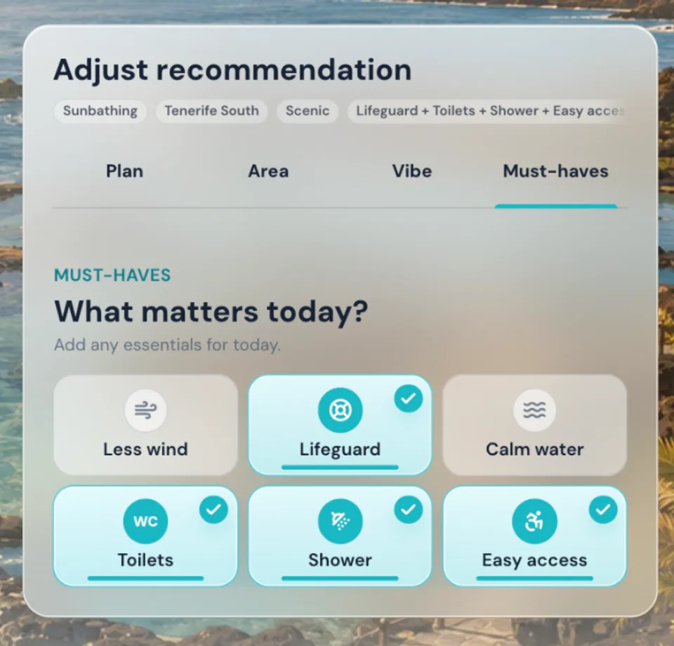
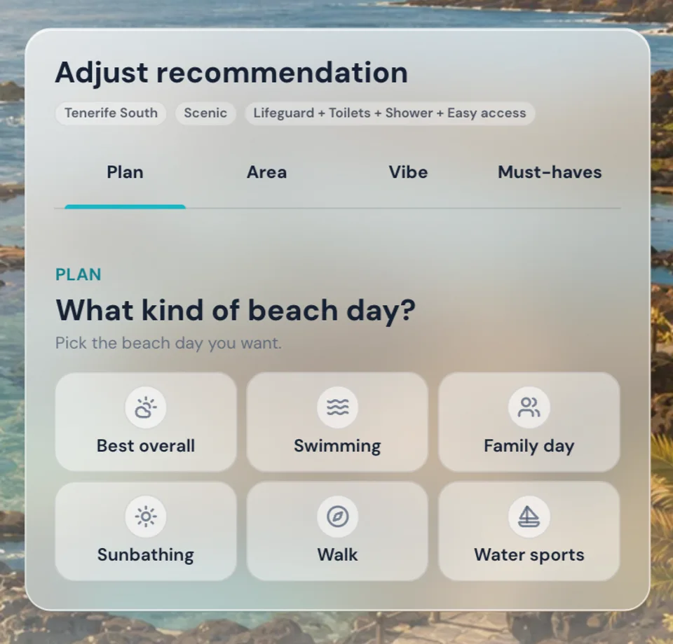
The selector keeps the decision short: choose what you want to do, where to start, what kind of coast feels right, and what the beach must have.
Best overall, swimming, family day, sunbathing, walk, or water sports.
Start island-wide, choose north or south, or use your location after a tap.
Sand, rock and lava, natural pool, city beach, or a scenic coast.
Less wind, lifeguard, calm water, toilets, showers, or easier access.
Before you leave
Each beach profile turns changing conditions and local context into practical guidance for the day.
A quick read on whether the beach suits the plan.
Useful hours when wind, heat, or UV are easier to handle.
Wind, waves, tide movement, and water temperature in one place.
Lifeguard, toilets, showers, mobility support, parking, and route notes.
Food, short stops, events, and community notes after the beach choice.
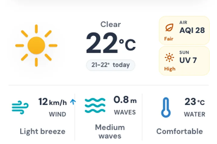
Temperature, sky, air quality, UV, wind, waves, water temperature, best time, hourly forecast, and tide context are grouped for fast scanning.
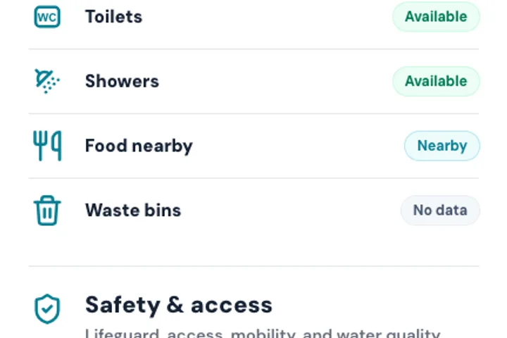
Lifeguard, facilities, accessibility, route notes, and community updates stay visible without turning them into official safety claims.
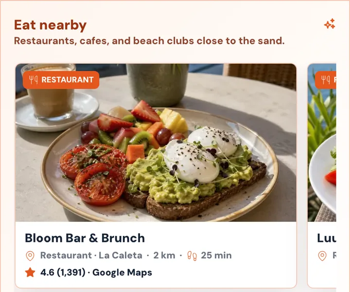
Restaurants, walks, viewpoints, and events appear after the beach decision, where they help turn the visit into an easy day out.
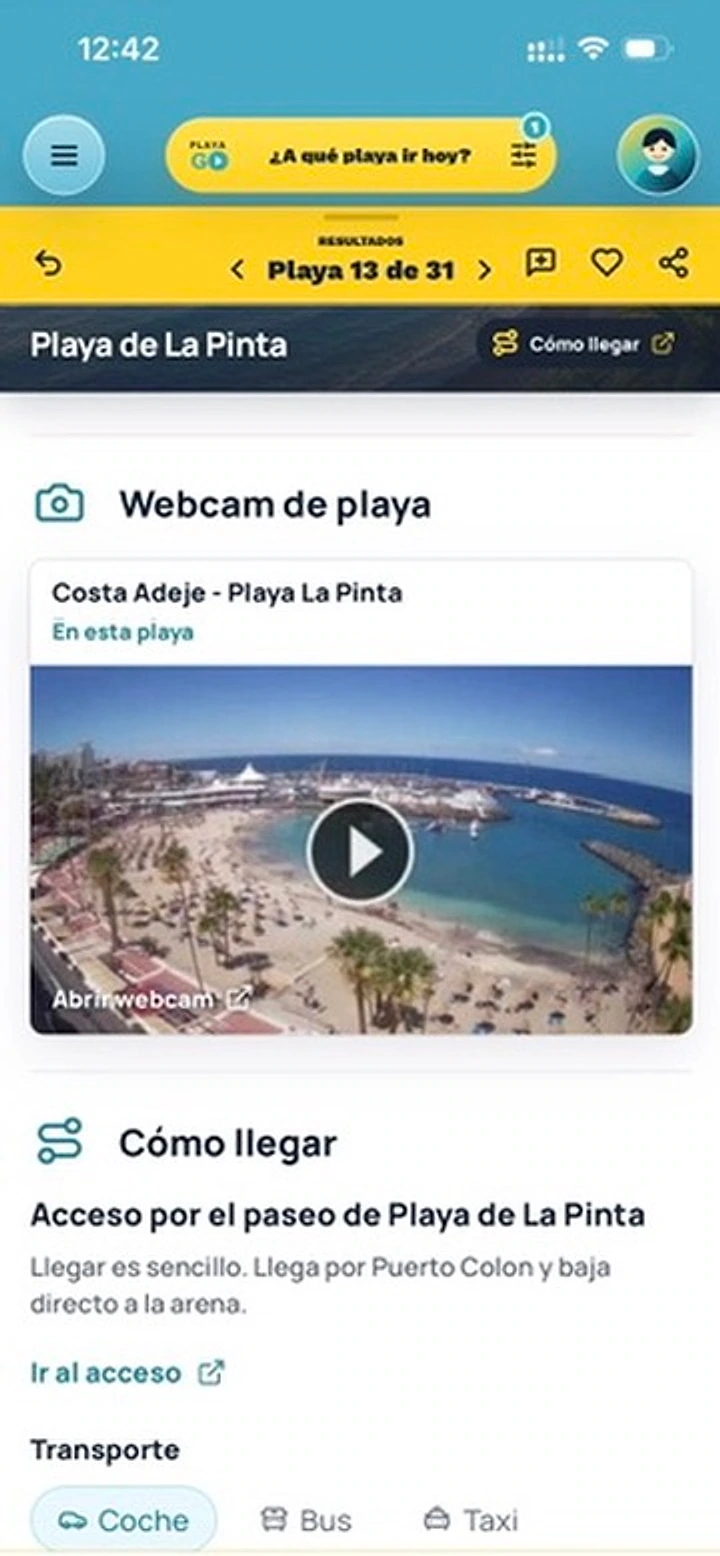
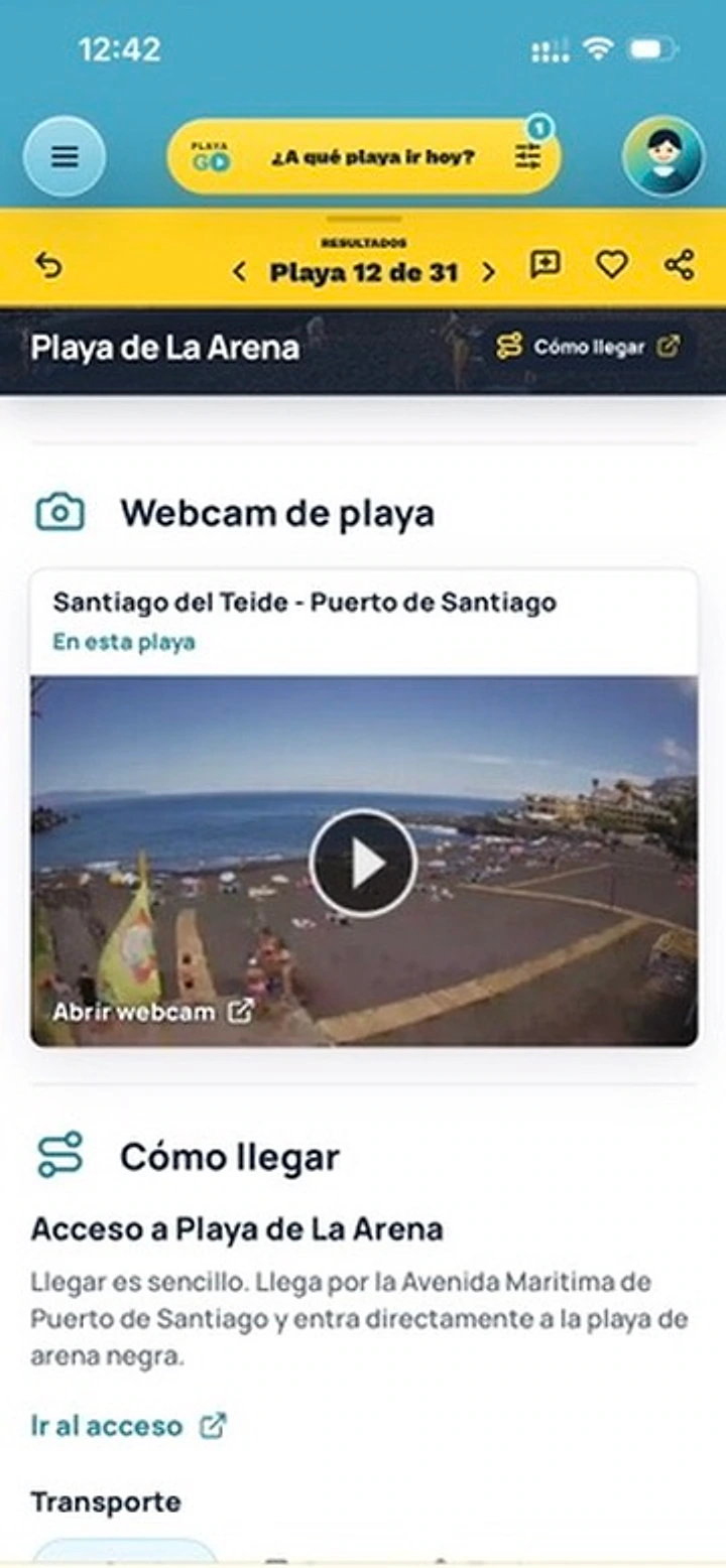
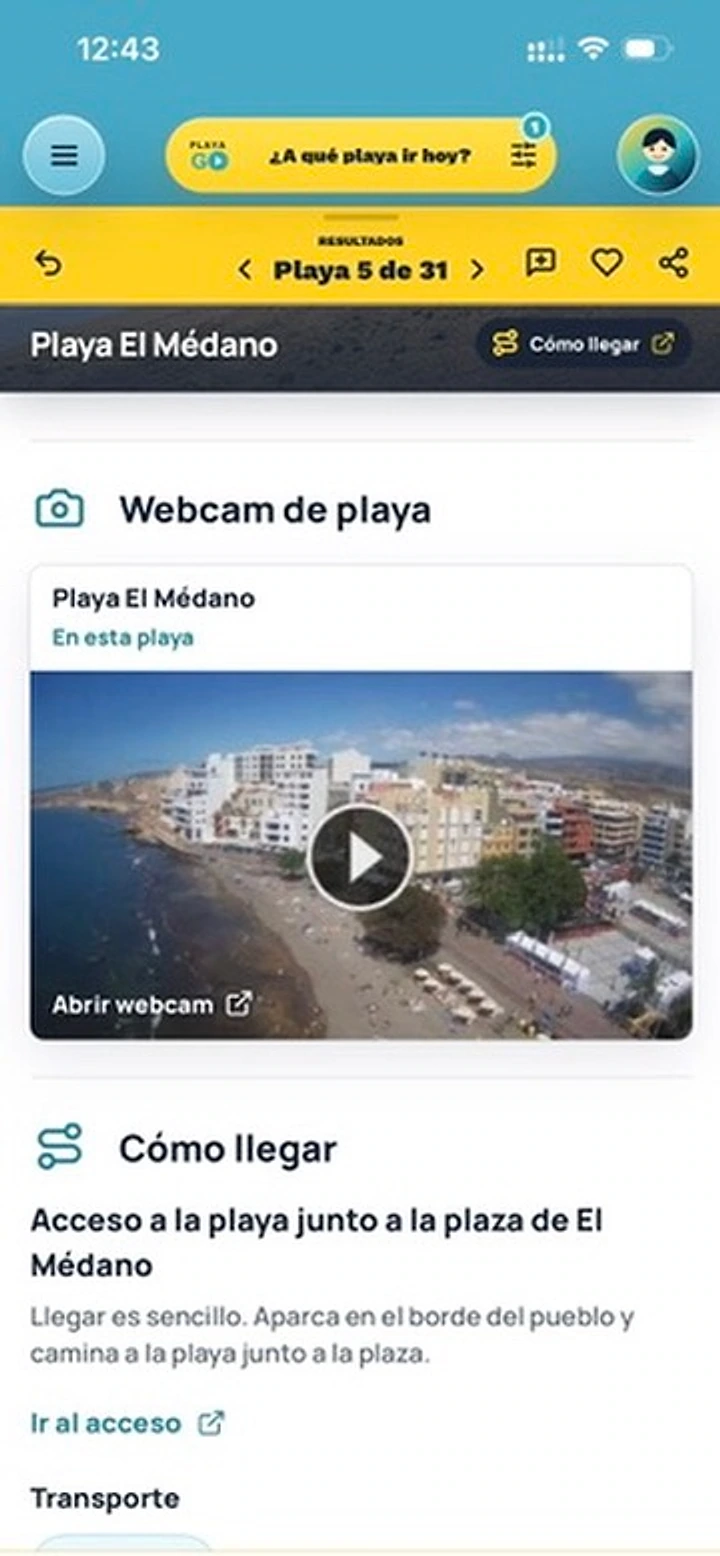
Live webcams
Check public webcams for Tenerife beaches before you leave. Use them as a visual reference alongside flags, lifeguards, and official safety updates.
Compare nearby
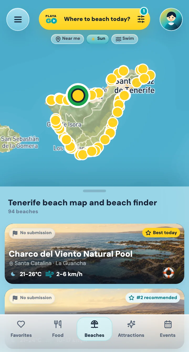
The map keeps your beach-day preferences, shows a ranked beach list around the island, and opens detail sheets without losing your place.
Your plan, area, vibe, and must-haves keep shaping the options.
The list orders beaches for your plan. Map pins show where they are; the rank appears on result cards, not on the pins.
Open a beach, restaurant, event, or nearby idea, then return to the same map view.
After the beach choice
A good beach decision often leads to lunch, a short walk, a viewpoint, or an evening event. PlayaGo keeps those ideas tied to the beach context.
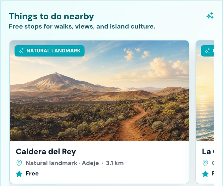
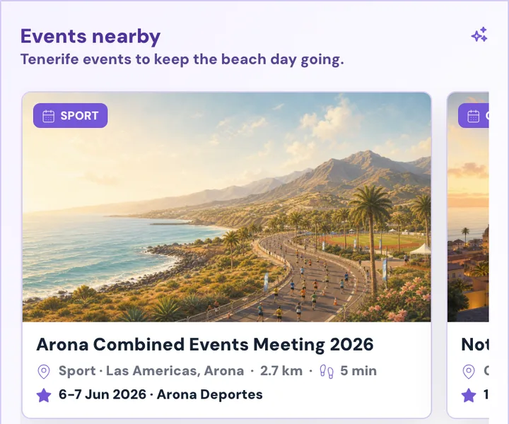
Find food close to the sand once the beach choice is already clear.
Use walks and viewpoints when the coast is better for exploring than swimming.
Events and nearby ideas help turn a beach visit into an easy day out.
Why trust the guidance
PlayaGo separates the beach decision from extra travel ideas, and keeps condition meaning close to the data that supports it.
Condition cards show useful timing or source context where it helps the decision.
Numbers are translated into plain-language beach guidance first.
Webcams and community notes help you look closer, but they do not replace official beach status.
Food, events, and partners help after the choice; they do not set beach ranking or safety labels.
Behind PlayaGo
PlayaGo is for visitors and residents who want a practical answer before they travel across Tenerife for the day.
The product should answer where to go today, not make you decode a long forecast first.
Routes, food, nearby places, and events appear when they make the beach day easier.
Weather, sea, access, photos, and local notes stay near the choices they affect.