Best beach today in Tenerife North, tuned to you
Start with today's best pick, then adjust it for your beach day.
Best match changed
Adjust recommendation
What kind of beach day?
Pick the beach day you want.
Where should we start?
Choose this area, the island, north, south, or near you.
Any beach vibe in mind?
Add one beach style if it matters.
What matters today?
Add any essentials for today.
Updated today · Map opens with beaches matched to your choices
Municipalities in Tenerife North
Choose a smaller area and see the available beach profiles.
Location illustration
Location illustrationThis is a representative PlayaGo illustration for the area. It gives quick travel context, not a real photo of this exact place or today's conditions.
Buenavista del Norte is a local Tenerife coast area where access, exposure, and nearby services shape the beach day.
View area
Location illustration
Location illustrationThis is a representative PlayaGo illustration for the area. It gives quick travel context, not a real photo of this exact place or today's conditions.
El Rosario is a local Tenerife coast area where access, exposure, and nearby services shape the beach day.
View area
Location illustration
Location illustrationThis is a representative PlayaGo illustration for the area. It gives quick travel context, not a real photo of this exact place or today's conditions.
Garachico sits on Tenerife's north coast, known for volcanic rock pools, historic streets, and a rougher Atlantic shoreline.
View area
Location illustration
Location illustrationThis is a representative PlayaGo illustration for the area. It gives quick travel context, not a real photo of this exact place or today's conditions.
Icod de los Vinos is a local Tenerife coast area where access, exposure, and nearby services shape the beach day.
View area
Location illustration
Location illustrationThis is a representative PlayaGo illustration for the area. It gives quick travel context, not a real photo of this exact place or today's conditions.
La Guancha is a local Tenerife coast area where access, exposure, and nearby services shape the beach day.
View area
Location illustration
Location illustrationThis is a representative PlayaGo illustration for the area. It gives quick travel context, not a real photo of this exact place or today's conditions.
La Orotava is a local Tenerife coast area where access, exposure, and nearby services shape the beach day.
View area
Location illustration
Location illustrationThis is a representative PlayaGo illustration for the area. It gives quick travel context, not a real photo of this exact place or today's conditions.
Los Realejos is a local Tenerife coast area where access, exposure, and nearby services shape the beach day.
View area
Location illustration
Location illustrationThis is a representative PlayaGo illustration for the area. It gives quick travel context, not a real photo of this exact place or today's conditions.
Los Silos is a local Tenerife coast area where access, exposure, and nearby services shape the beach day.
View area
Location illustration
Location illustrationThis is a representative PlayaGo illustration for the area. It gives quick travel context, not a real photo of this exact place or today's conditions.
Puerto de la Cruz is a local Tenerife coast area where access, exposure, and nearby services shape the beach day.
View area
Location illustration
Location illustrationThis is a representative PlayaGo illustration for the area. It gives quick travel context, not a real photo of this exact place or today's conditions.
San Cristóbal de La Laguna is a local Tenerife coast area where access, exposure, and nearby services shape the beach day.
View area
Location illustration
Location illustrationThis is a representative PlayaGo illustration for the area. It gives quick travel context, not a real photo of this exact place or today's conditions.
San Juan de la Rambla is a local Tenerife coast area where access, exposure, and nearby services shape the beach day.
View area
Location illustration
Location illustrationThis is a representative PlayaGo illustration for the area. It gives quick travel context, not a real photo of this exact place or today's conditions.
Santa Cruz de Tenerife pairs the island capital with nearby north-east beaches, from city access to the golden sand at Las Teresitas.
View area
Location illustration
Location illustrationThis is a representative PlayaGo illustration for the area. It gives quick travel context, not a real photo of this exact place or today's conditions.
Tacoronte is a local Tenerife coast area where access, exposure, and nearby services shape the beach day.
View areaBeaches in Tenerife North
Open a specific beach profile and check the conditions.
Spain / Santa Cruz de Tenerife
 Antequera remote coast San Andrés · Santa Cruz de Tenerife · Tenerife 23-30°C 3-15 km/h 25°C
 A remote Anaga scenery beach reached by difficult footpath or sea, with official dangerous classification and no normal beach services.
Check beach Charco de La Araña Los Silos · Los Silos · Tenerife 24-28°C 6-11 km/h 25°C
 A tide-dependent Los Silos natural charco beside El Puertito, best kept for low-tide scenery and very calm sea checks.
Check beach Charco de La Laja Natural Pool San Juan de la Rambla · San Juan de la Rambla · Tenerife 25-29°C 3-11 km/h 25°C A volcanic natural pool below San Juan de la Rambla, best for a scenic dip when the sea is settled and the stair access feels comfortable.
Check beach Charco del Cumplido La Caleta de Interián · Los Silos · Tenerife 24-28°C 6-11 km/h 25°C Long, shallow volcanic charco by the La Caleta salinas in Los Silos, best treated as a calm-sea natural-pool stop around high tide.
Check beach Charco del Viento Natural Pool Santa Catalina · La Guancha · Tenerife 25-29°C 3-11 km/h 25°C A four-pool lava charco below Santa Catalina in La Guancha, best approached by the signed road, parking area, and stair access when the sea is settled.
Check beach Charco Don Gabino Los Silos · Los Silos · Tenerife 24-28°C 6-11 km/h 25°C A small volcanic-rock natural pool west of El Puertito on the Los Silos coast, best treated as a careful scenic stop when the sea is genuinely calm.
Check beach Charco El Ingles La Caleta de Interián · Los Silos · Tenerife 24-28°C 6-11 km/h 25°C A Los Silos lava-rock charco near La Caleta de Interian, reached by stone steps and best treated as a tide-aware, calm-sea natural-pool stop.
Check beach Charco Juaniquín La Caleta de Interián · Los Silos · Tenerife 24-28°C 6-11 km/h 25°C Shallow volcanic charco on the Los Silos side of La Caleta de Interián, with ramp access and swimming best kept to clearly calm sea conditions.
Check beach Charco Los Chochos Los Silos · Los Silos · Tenerife 24-28°C 6-11 km/h 25°C A rocky Los Silos saltwater charco near El Puertito, best for a careful natural-pool stop when the sea is genuinely calm.
Check beach Charco Roque Natural Pool Buenavista del Norte · Buenavista del Norte · Tenerife 24-28°C 8-14 km/h 25°C A lava-rock natural pool on the Buenavista coast, best used as a scenic, tide-aware charco stop rather than a serviced beach day.
Check beach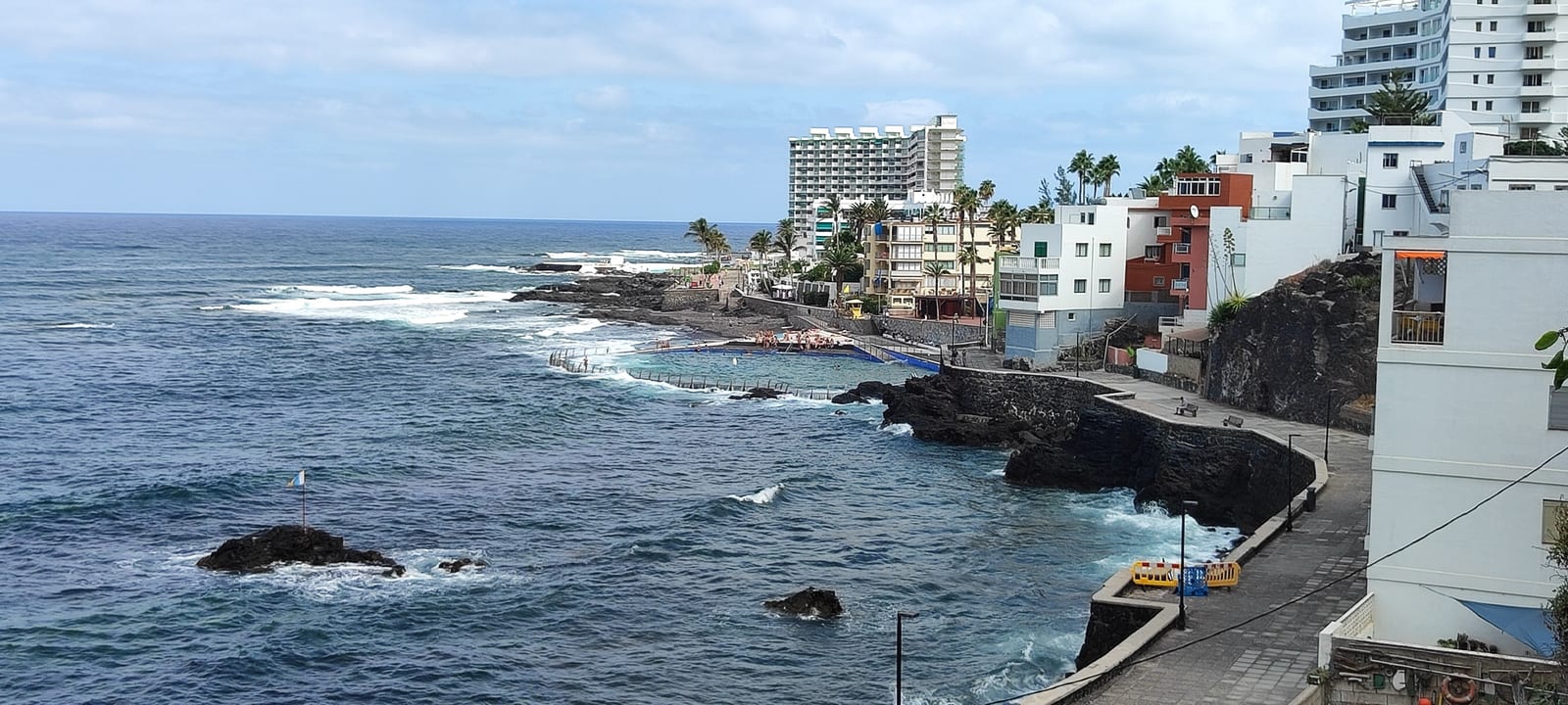 El Arenisco Natural Pool Punta del Hidalgo · San Cristóbal de La Laguna · Tenerife 23-27°C 1-16 km/h 24°C
 Accessible seawater natural pool on the Punta del Hidalgo lava-rock seafront, with Atlantic views, services nearby, and swimming that still depends on sea conditions.
Check beach El Bloque Bathing Zone Valleseco · Santa Cruz de Tenerife · Tenerife 23-28°C 1-9 km/h 25°C A semiurban concrete bathing zone at the old El Bloque embarcadero in Valleseco, with solarium space, a children's play area, and high-season rescue cover listed by the municipality.
Check beach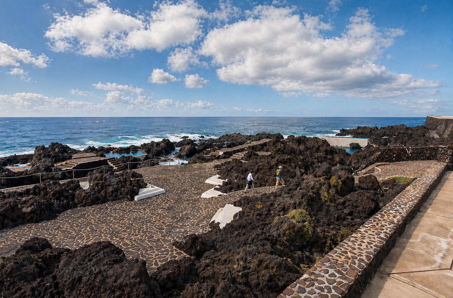 El Caletón Natural Pools Garachico · Garachico · Tenerife 24-28°C 6-11 km/h 25°C El Pris Beach El Pris · Tacoronte · Tenerife 24-31°C 3-10 km/h 25°C
 Small black-sand, gravel, and pebble beach in the El Pris fishing village, with parking, local bus access, nearby restaurants, and strong-wave caution for the open shore.
Check beach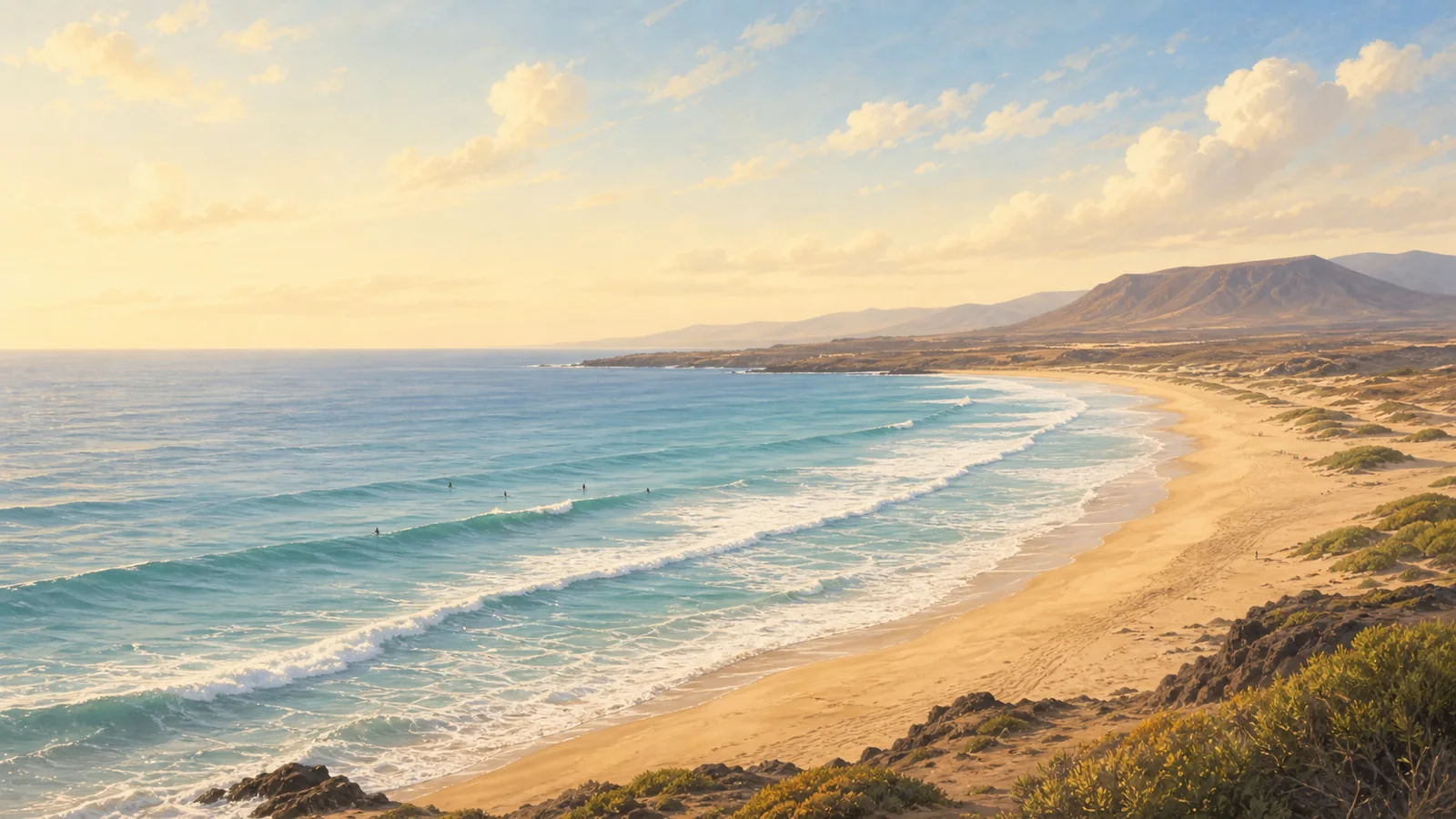 El Roquete warning coast Punta del Hidalgo · San Cristóbal de La Laguna · Tenerife 23-27°C 1-16 km/h 25°C
 A compact Punta del Hidalgo callaos beach for coast views only, with official high-risk/prohibited-use bathing context.
Check beach Jover Natural Pool Tejina · San Cristóbal de La Laguna · Tenerife 24-31°C 2-16 km/h 25°C Quiet Tejina-coast natural pool with rocky bathing edges, adapted access, a freshwater shower, and a conservative Atlantic-coast safety baseline.
Check beach Piscinas Naturales de Bajamar Bajamar · San Cristóbal de La Laguna · Tenerife 23-31°C 1-16 km/h 25°C Family-friendly Bajamar natural-pool complex with two large seawater pools, a small children’s pool, a protected sandy pocket, and urban services close by.
Check beach Piscinas naturales de Mesa del Mar Mesa del Mar · Tacoronte · Tenerife 24-30°C 3-10 km/h 25°C Two saltwater pools below Tacoronte cliffs with parking, solarium space, showers, and a careful final road descent.
Check beach Playa Almáciga Almáciga · Santa Cruz de Tenerife · Tenerife 23-31°C 3-15 km/h 25°C A wild black-sand Anaga beach for surf views, cliffs, and a slower coastal stop, with strong waves, changing currents, line 946 bus access, and only small parking capacity.
Check beach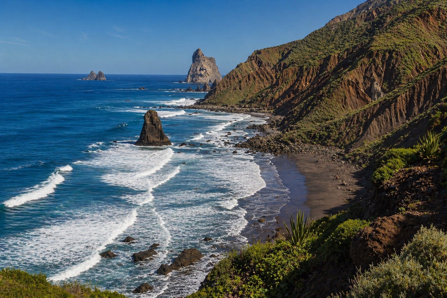 Playa Benijo Taganana · Santa Cruz de Tenerife · Tenerife 23-31°C 3-15 km/h 25°C Playa de Agua Dulce Los Silos · Los Silos · Tenerife 24-28°C 6-11 km/h 25°C
 Wild pebble-and-volcanic-sand beach on the Sibora coast of Los Silos, best approached as a wave-aware surf and scenery stop with no ordinary services.
Check beach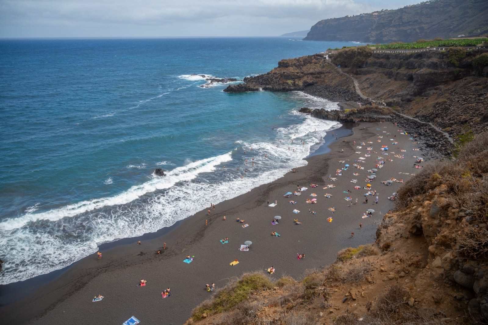 Playa de El Bollullo El Rincon · La Orotava · Tenerife 25-30°C 4-11 km/h 25°C
 Natural black-sand beach below El Rincon cliffs, with strong-wave caution, stepped access, small parking, toilets, bus service, and a bar-restaurant listed by official sources.
Check beach Playa de El Rincón El Pris · Tacoronte · Tenerife 24-31°C 3-10 km/h 25°C Isolated north-coast cove by El Pris with black sand, gravel, and callaos, reached on foot and best planned as a bring-your-own-water stop.
Check beach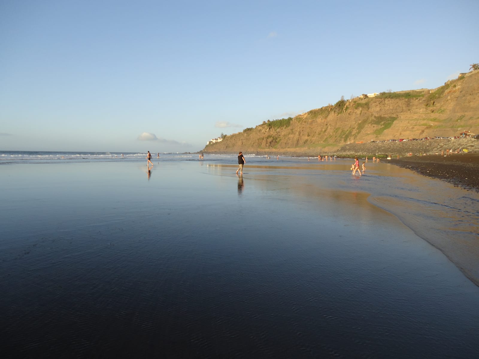 Playa de El Socorro El Socorro · Los Realejos · Tenerife 25-30°C 4-11 km/h 25°C
 North-coast black-sand beach in Los Realejos, known for surf, open Atlantic scenery, services, parking, and strong-wave caution.
Check beach Playa de La Caleta de Interián La Caleta de Interián · Garachico · Tenerife 24-28°C 6-11 km/h 25°C Pebble-and-dark-sand urban beach in Garachico-side La Caleta de Interian, with promenade access, limited parking, interurban bus access, and local food nearby.
Check beach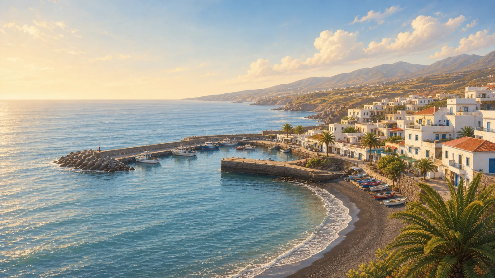 Playa de La Nea Radazul · El Rosario · Tenerife 24-33°C 2-11 km/h 26°C
 Urban black-sand beach in Radazul with a promenade, parking, bus access, toilets, showers and a seasonal municipal rescue-service baseline.
Check beach Playa de Las Aguas Garachico · Garachico · Tenerife 24-28°C 6-11 km/h 25°C Quiet Garachico beach beside the marina, with dark mixed sand, gravel and rounded stones, foot access, bus access, and no beach services or dedicated parking listed.
Check beach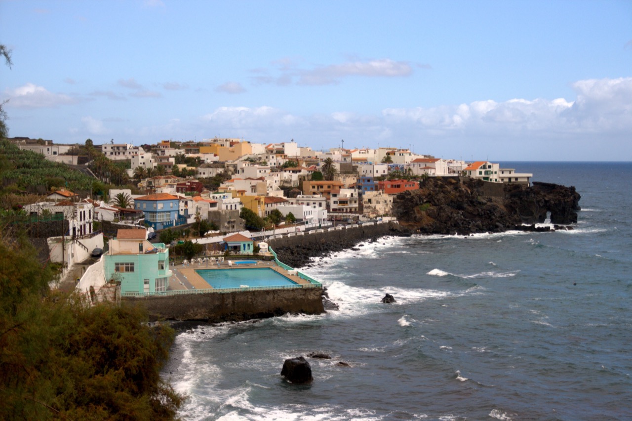 Playa de Las Aguas Las Aguas · San Juan de la Rambla · Tenerife 25-29°C 3-11 km/h 26°C
 Small urban pebble beach in Las Aguas, with nearby restaurants, compact seafront parking, bus access, and stronger surf that calls for cautious bathing.
Check beach Playa de Las Arenas Buenavista del Norte · Buenavista del Norte · Tenerife 24-28°C 8-14 km/h 25°C Rock-and-dark-sand beach on the Buenavista del Norte coast, with source-listed parking, accessible access, and food close by at the coastal access.
Check beach Playa de Los Roques Toscal-Longuera · Los Realejos · Tenerife 25-30°C 4-11 km/h 25°C Rocky black-sand-and-callaos cove below the Toscal-Longuera coast, best framed as a viewpoint-first stop with careful signed-path access.
Check beach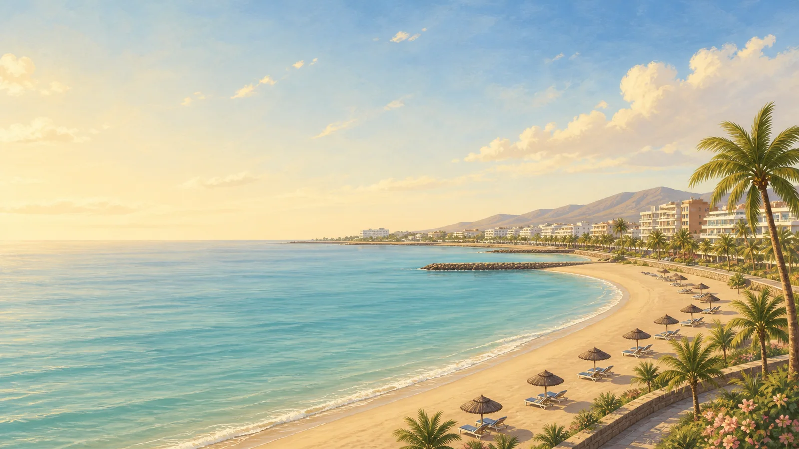 Playa de San Marcos San Marcos · Icod de los Vinos · Tenerife 24-28°C 6-11 km/h 25°C
 Sheltered black-sand urban bay in Icod de los Vinos, with accessible access, showers, toilets, food terraces, small parking, and a calmer family-oriented setting for the north coast.
Check beach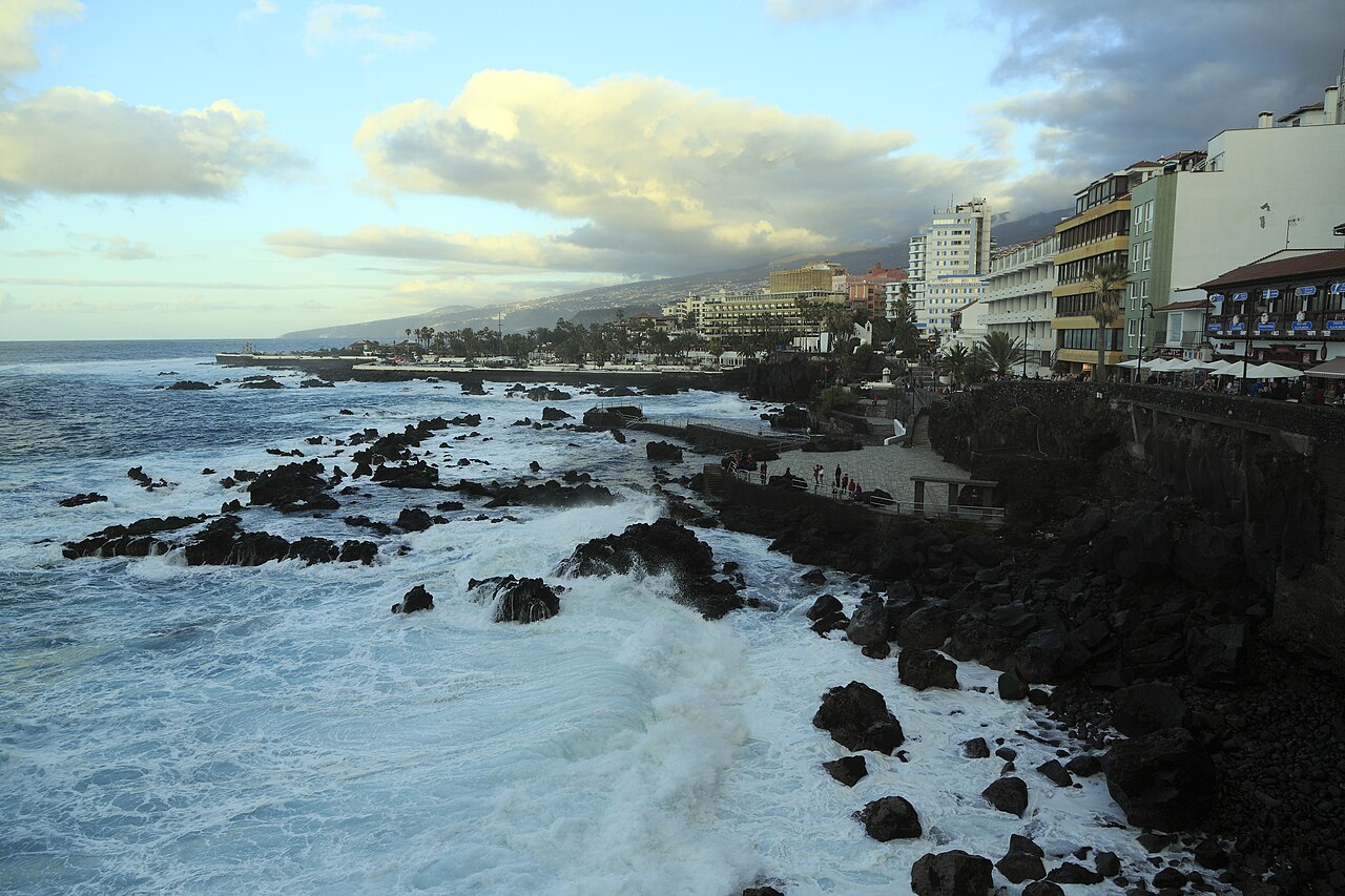 Playa de San Telmo Puerto de la Cruz · Puerto de la Cruz · Tenerife 25-30°C 4-11 km/h 25°C
 Small traditional Puerto de la Cruz bathing area with black sand, pebbles, volcanic rocks, and natural pools beside Paseo de San Telmo.
Check beach Playa del Muelle, Garachico Garachico · Garachico · Tenerife 24-28°C 6-11 km/h 25°C Small sheltered gravel-and-dark-sand beach by Garachico old harbour, with easy access, parking, bus access, showers, adapted facilities, and the historic town a short walk away.
Check beach Playa del Roque de las Bodegas Taganana · Santa Cruz de Tenerife · Tenerife 23-31°C 3-15 km/h 25°C [object Object]
Check beach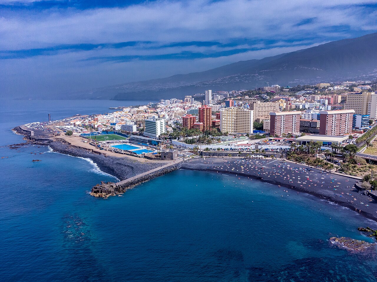 Playa Jardin Complex Puerto de la Cruz · Puerto de la Cruz · Tenerife 25-30°C 4-11 km/h 25°C
 Black-sand Puerto de la Cruz beach complex with gardens, promenade access, family services, and three connected bathing sectors.
Check beach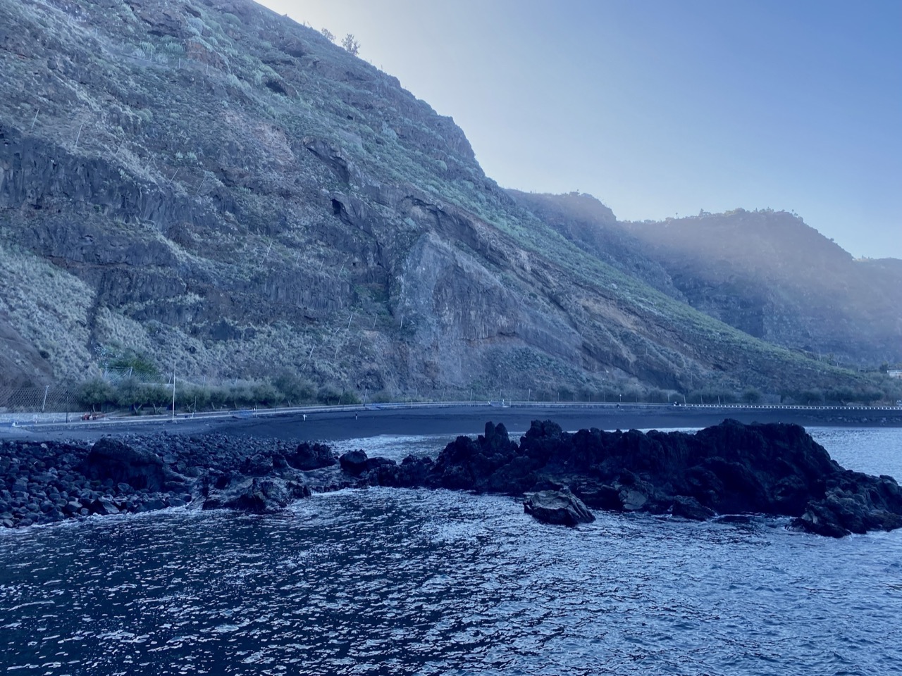 Playa La Arena, Tacoronte Mesa del Mar · Tacoronte · Tenerife 24-30°C 3-10 km/h 25°C
 North-coast black-sand beach below Mesa del Mar, reached by tunnel and backed by parking, toilets, and calm-family beach context from official sources.
Check beach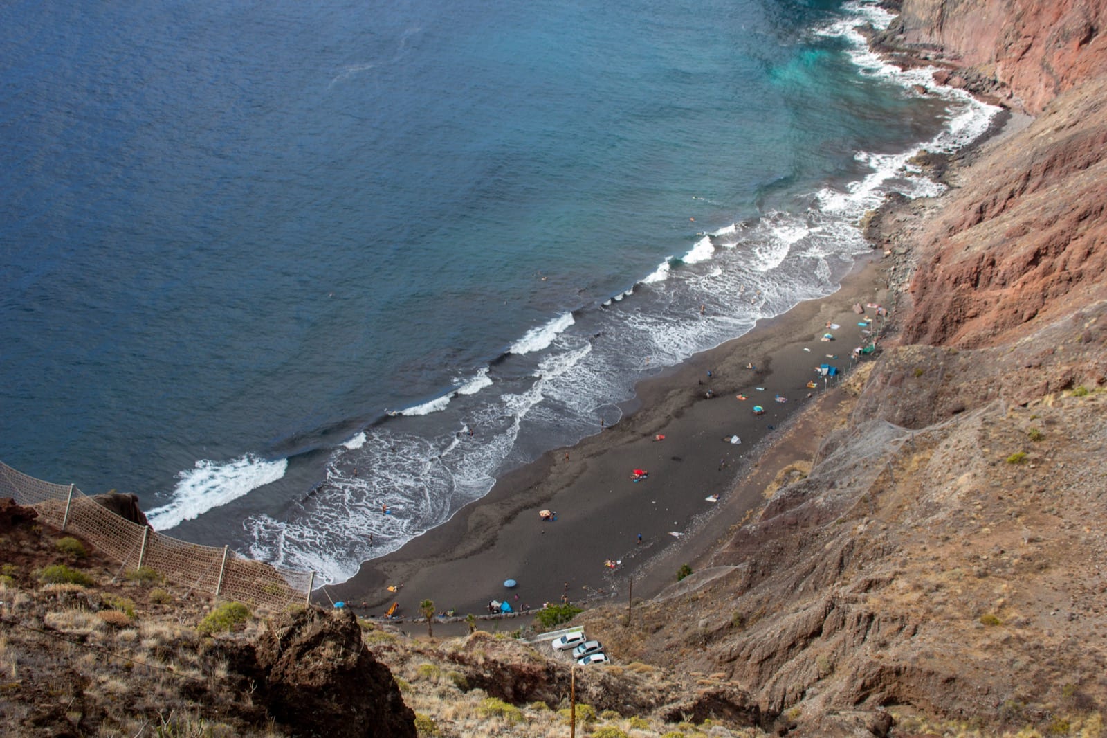 Playa Las Gaviotas San Andrés · Santa Cruz de Tenerife · Tenerife 23-30°C 3-15 km/h 25°C
 Natural black-sand Anaga beach below cliffs near San Andrés, with limited services, a small car park, and interurban bus context.
Check beach Playa Las Mujeres Buenavista del Norte · Buenavista del Norte · Tenerife 24-28°C 8-14 km/h 25°C An isolated black-sand-and-callaos cove on the Buenavista coast, best for wild scenery and careful wave-aware visits.
Check beach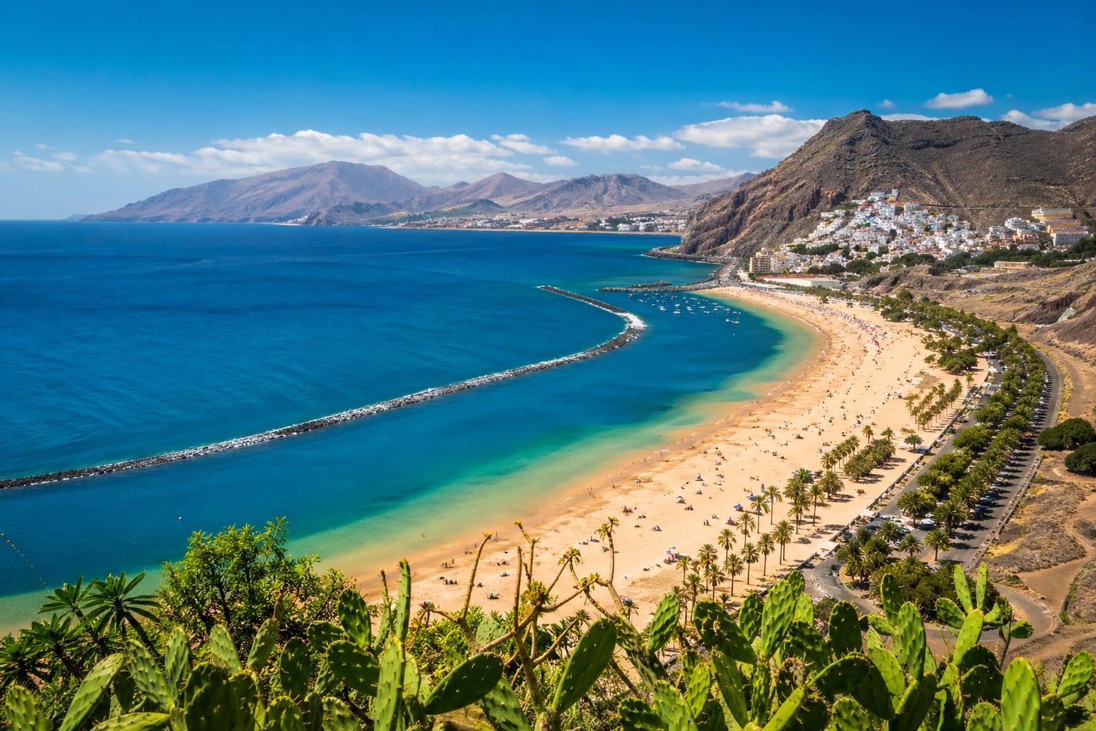 Playa Las Teresitas San Andrés · Santa Cruz de Tenerife · Tenerife 23-31°C 3-15 km/h 26°C
 Long, family-friendly San Andrés beach with golden sand, calm breakwater-protected water, palms, and practical services along the shore.
Check beach Playa Martiánez Puerto de la Cruz · Puerto de la Cruz · Tenerife 25-30°C 4-11 km/h 25°C Semi-urban black-sand and callaos beach below the Martiánez cliff, with promenade access, nearby food, and a surf-oriented north-coast feel.
Check beach Radazul Beach Radazul · El Rosario · Tenerife 24-33°C 2-11 km/h 25°C Sheltered Radazul bathing area with two small black-sand coves, breakwater access, clear-water snorkel appeal, parking, bus access, and marina-side services.
Check beach